My Visits: South Staffordshire Line
The South Staffordshire Line was a mainline that once connected Burton-upon-Trent to: Lichfield, Walsall, Wednesbury, Dudley, and Stourbridge - It officially started at Wychnor Junction (just south of Burton). Nowadays the only active section is between Burton-upon-Trent to Lichfield - but it is reserved mostly for freight trains. One of the remaining (abandoned) sections between Lichfield and Brownhills was converted to a greenway in 2025, but the track could be walked along prior to this. Jayden and I visited this line on 29/03/2025; before all the tracks, signposts and other accessories were ripped up.

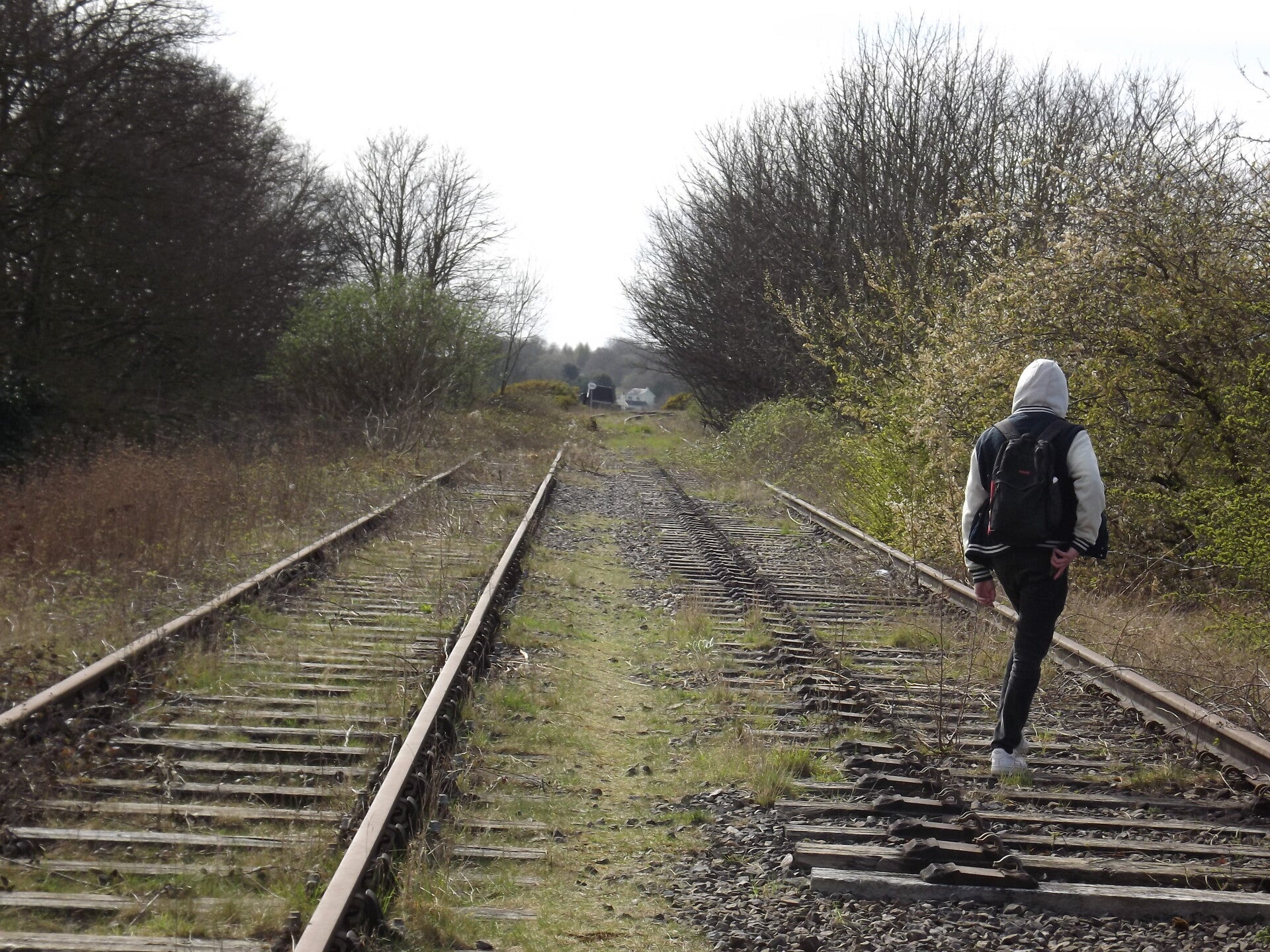
The line was accessed by steps off Chesterfield Road.

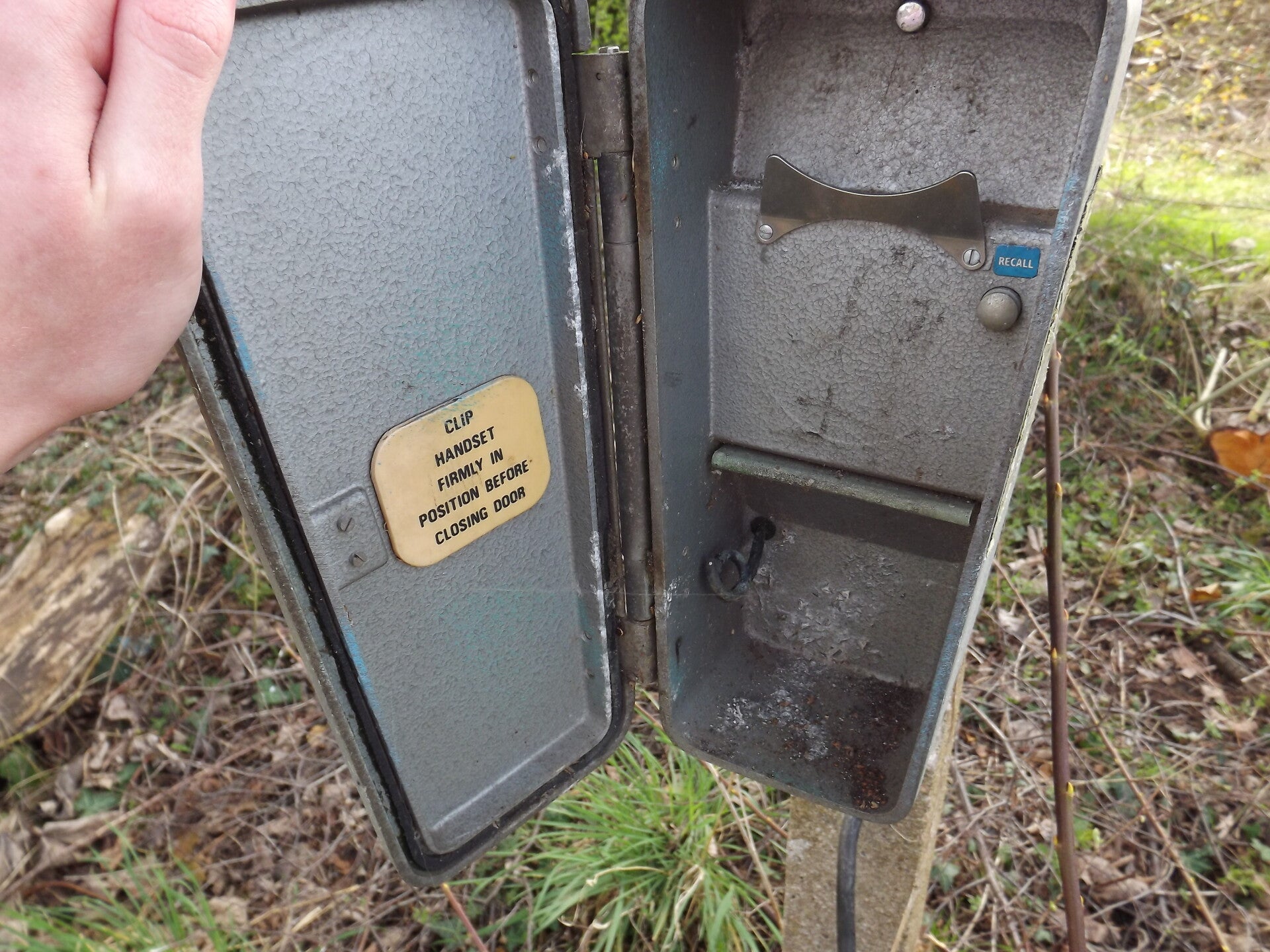
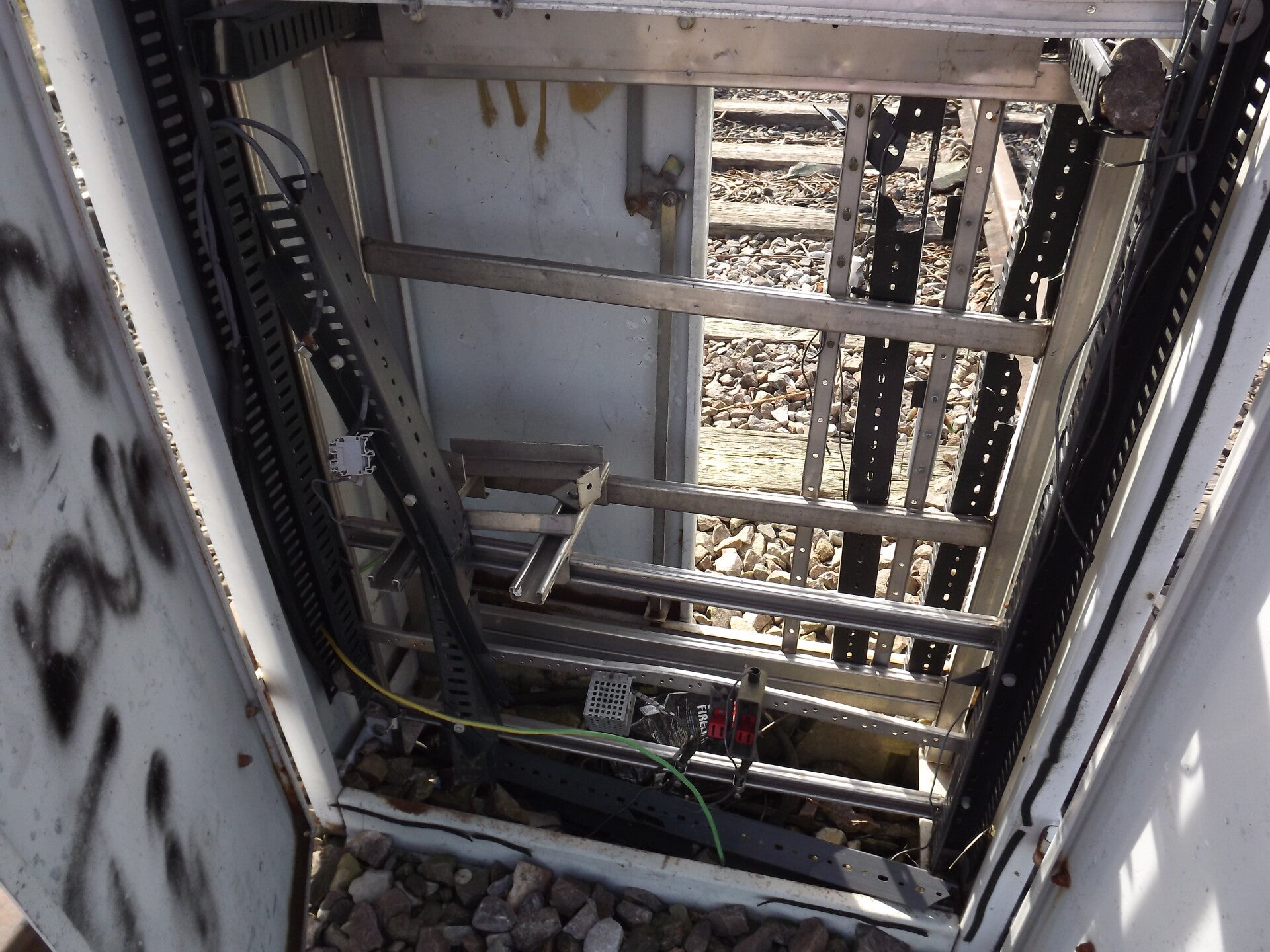
Not far along, a piece of equipment was still present: what appears to be a signal telephone box.
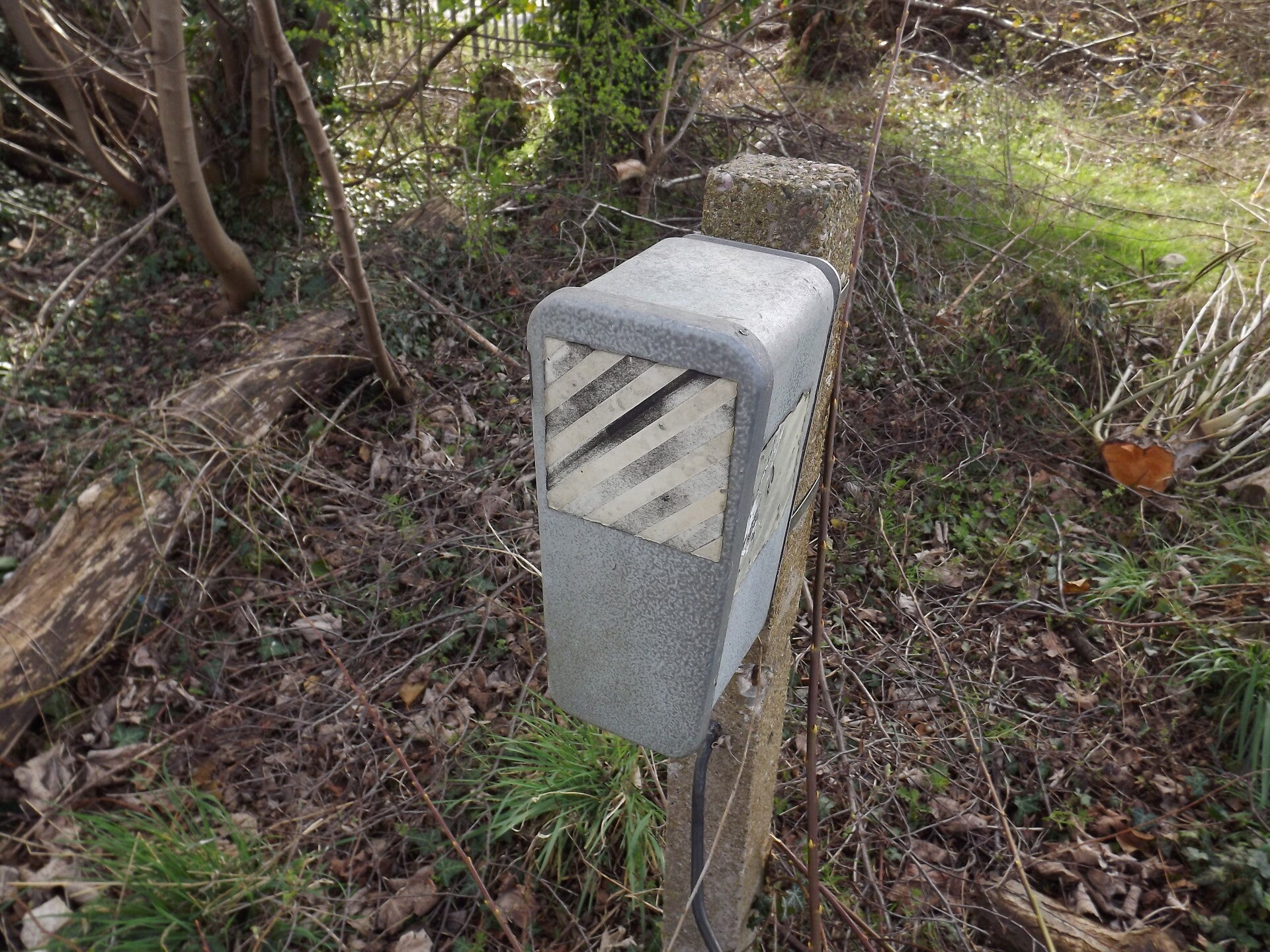
Virtually nothing remained inside, but the recall button, a bracket and a plaque on the door.
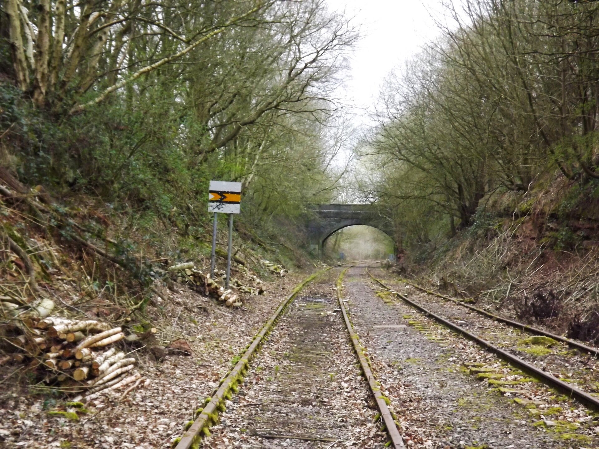
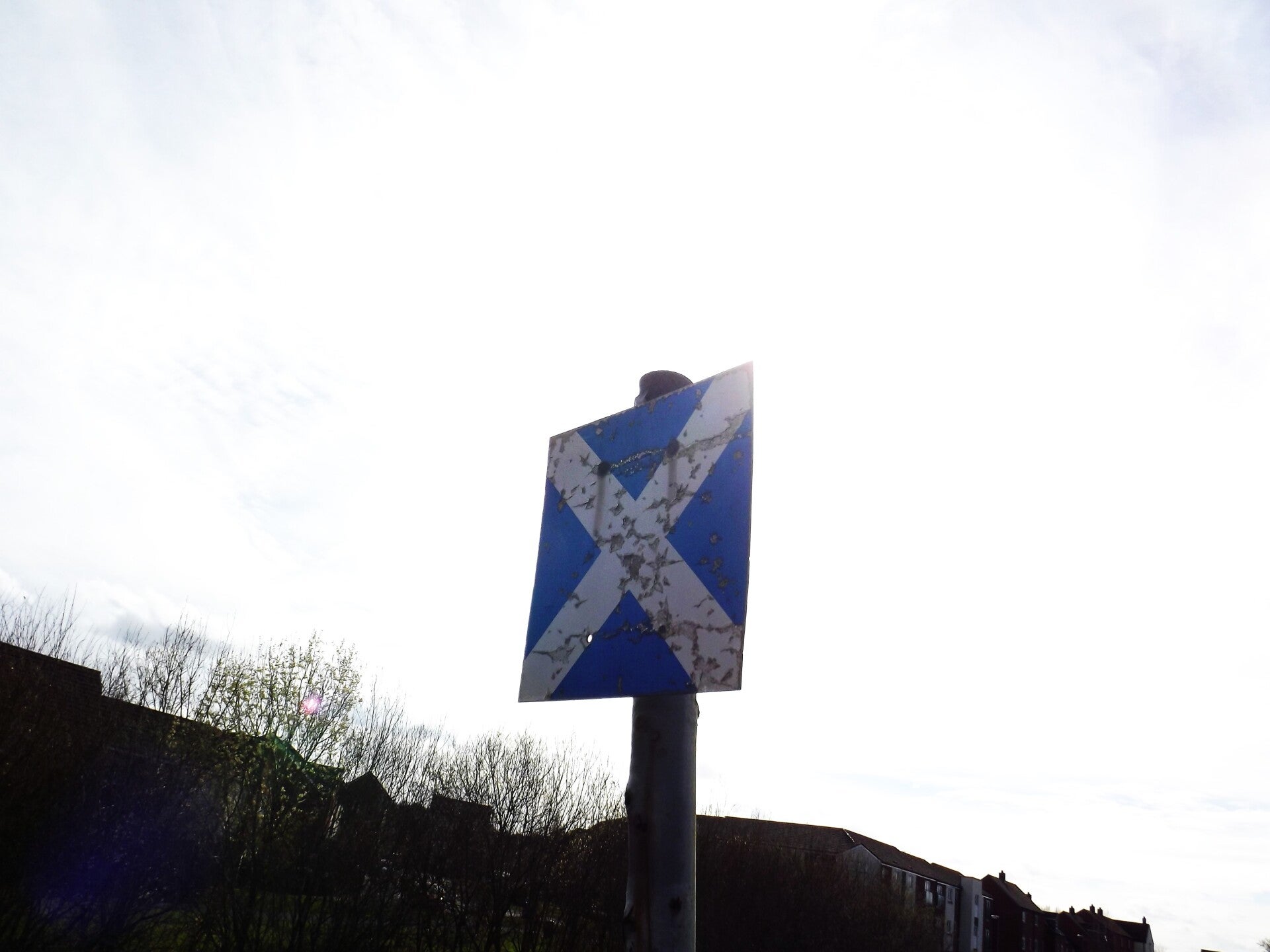
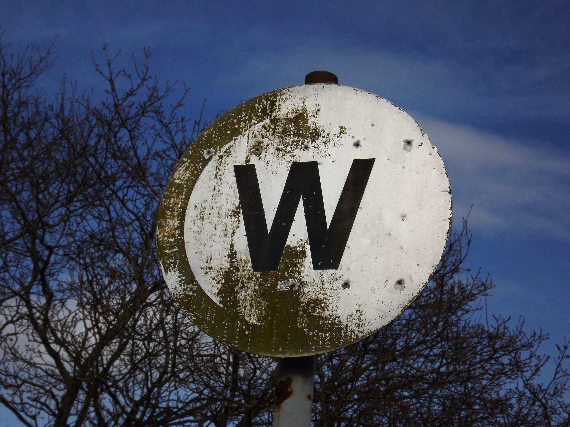
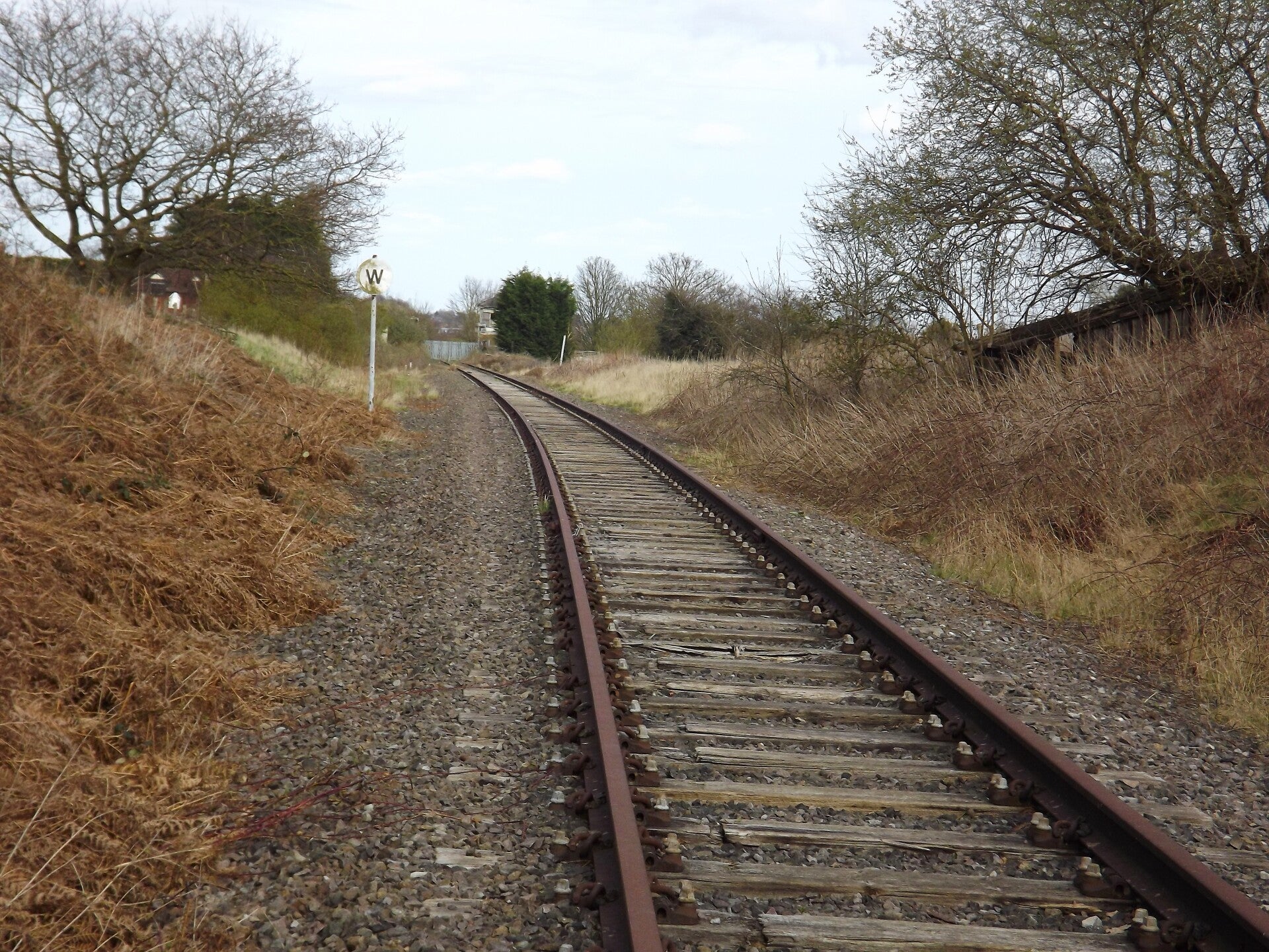
Some signage was present along the track as well. The first to be spotted was this AWS cancelling indicator sign.
This type of sign is used to tell a train driver that an already-received Automatic Warning System indication can be ignored.
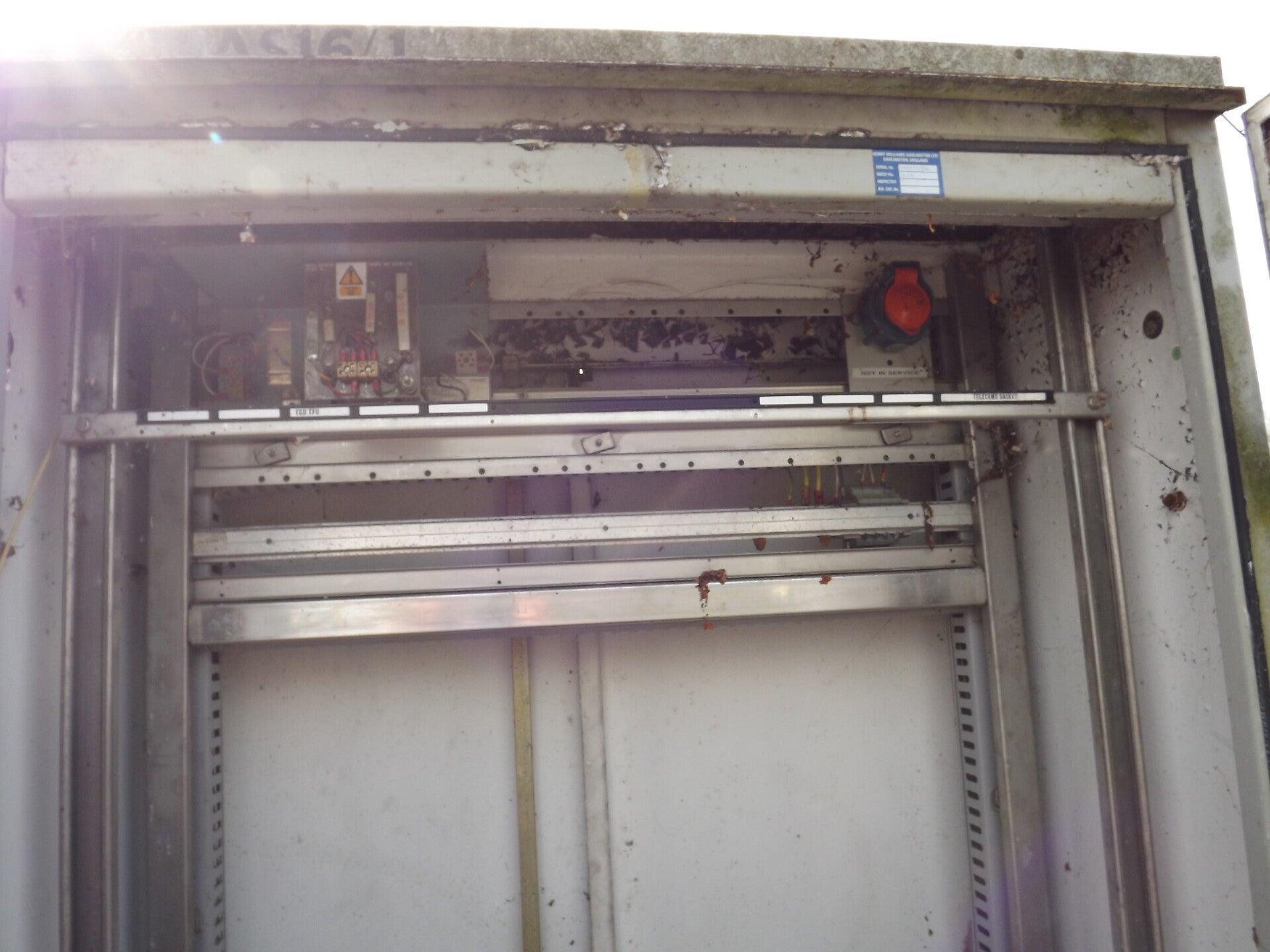
A stripped electrical box was the next piece of equipment along the railway.
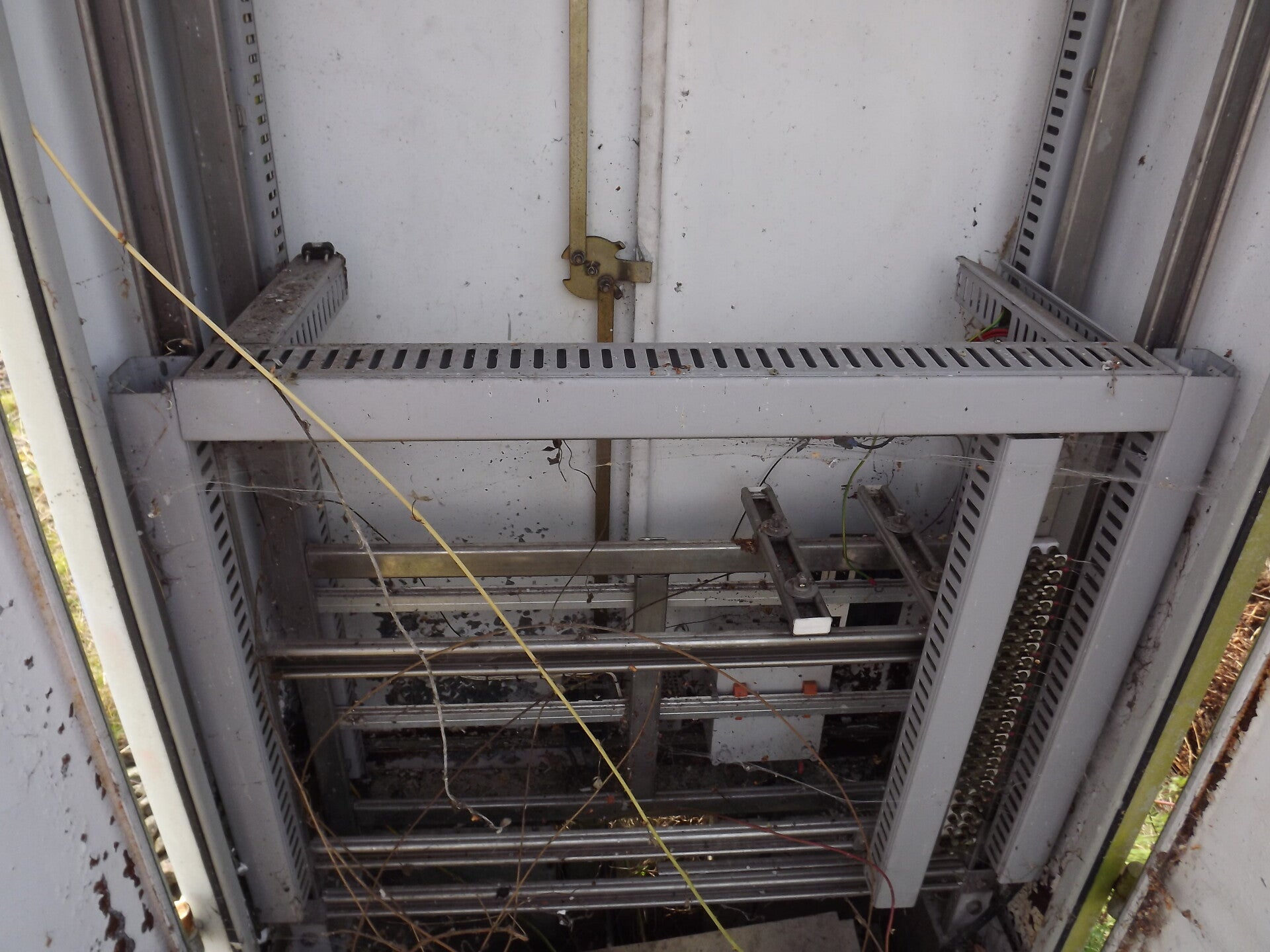
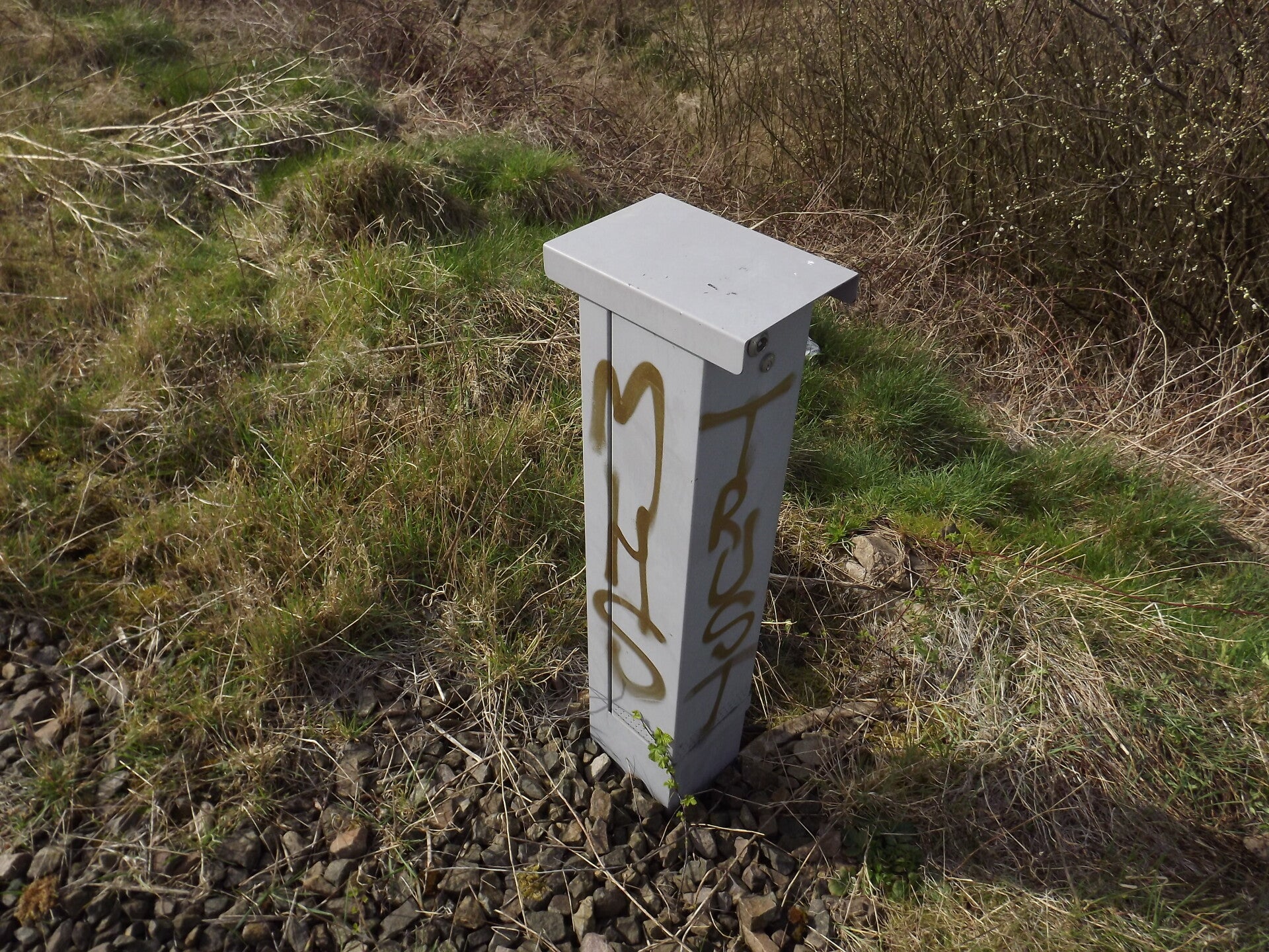
Also nearby was this cabinet, although I'm not sure what it was for as I wasn't able to open this one.
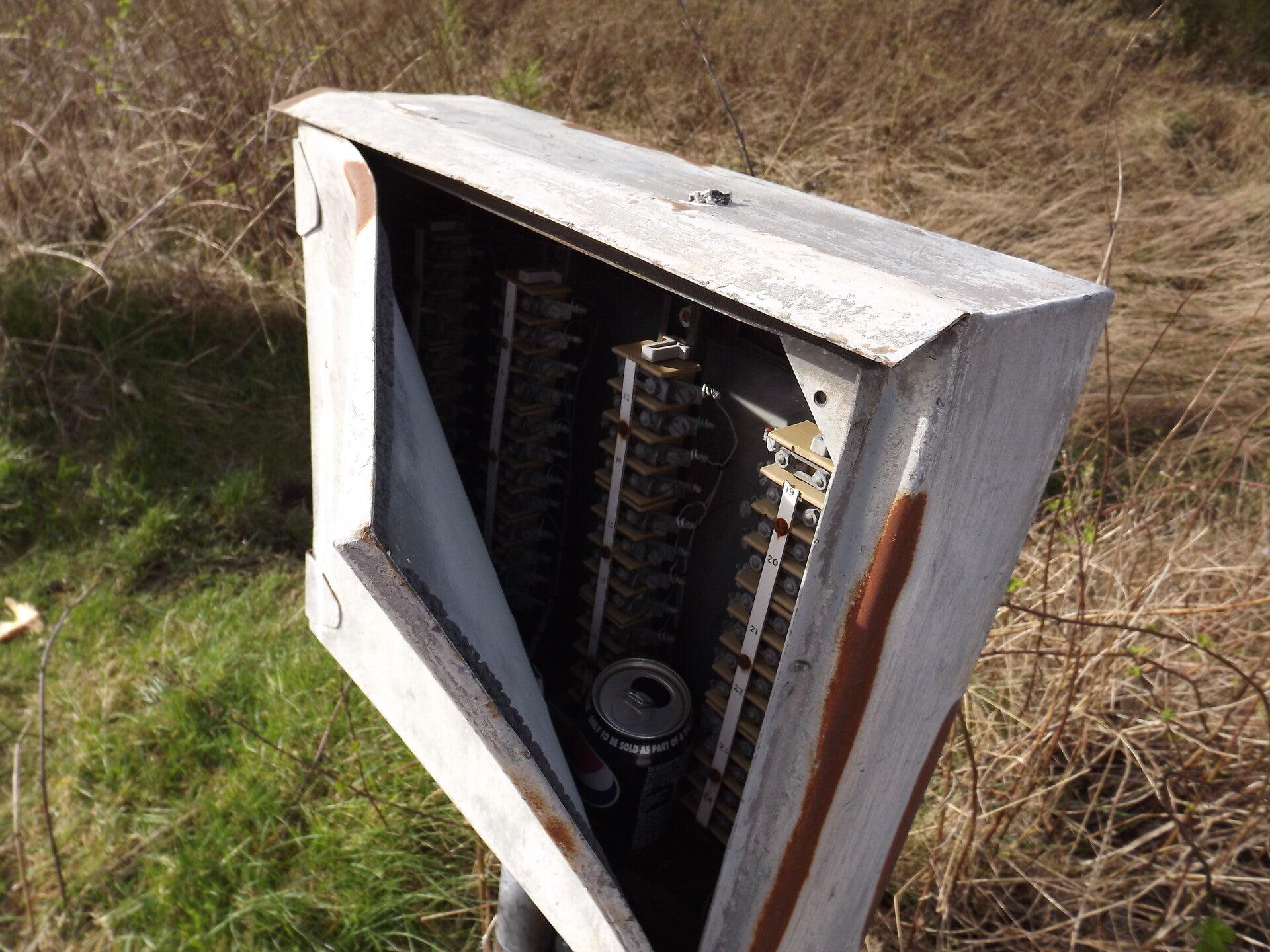
The next one did not need to be opened! One of the corners of its door had been ripped off entirely. I believe this is some kind of switchgear. I would pose a guess that the can was not integral to its function.
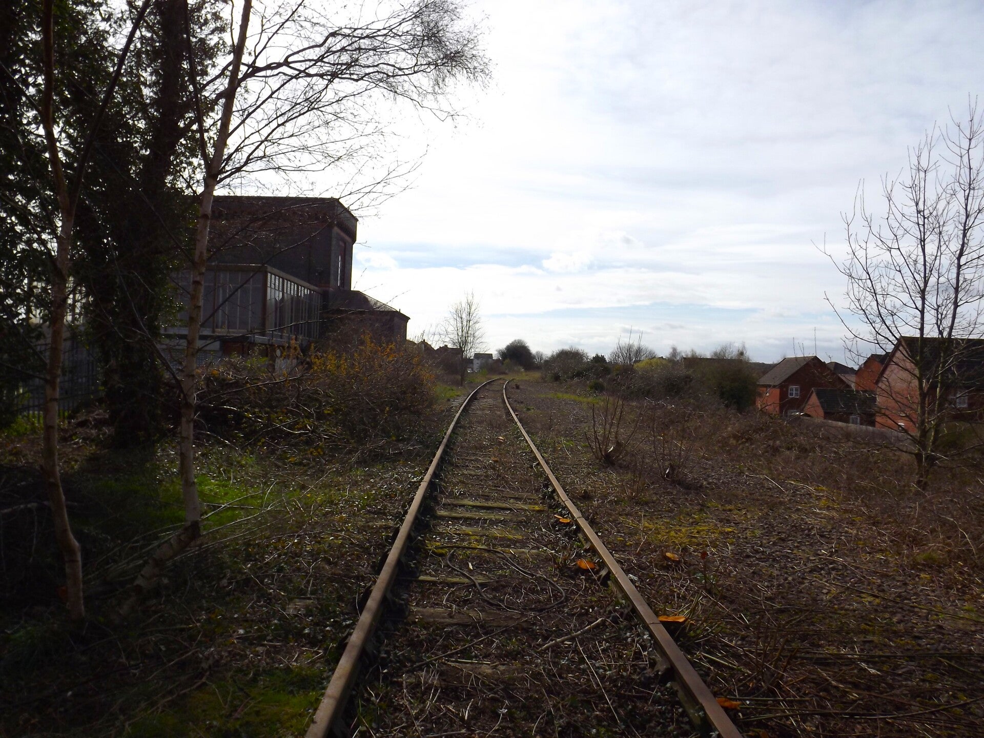
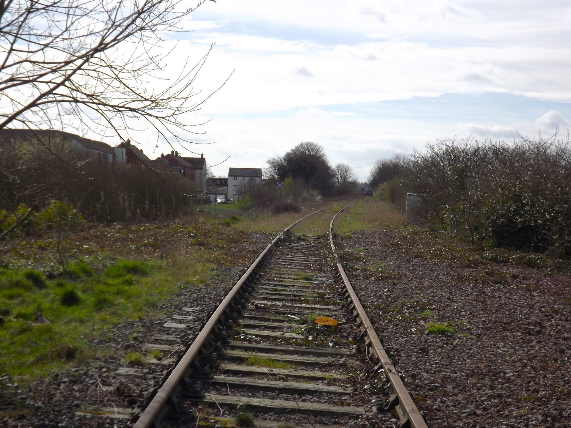
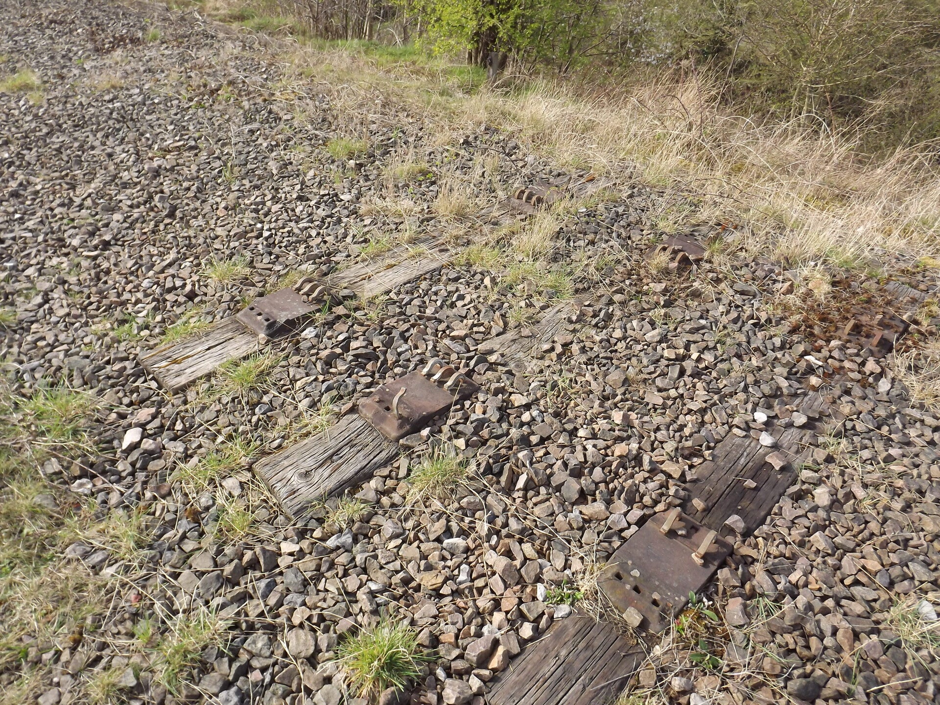
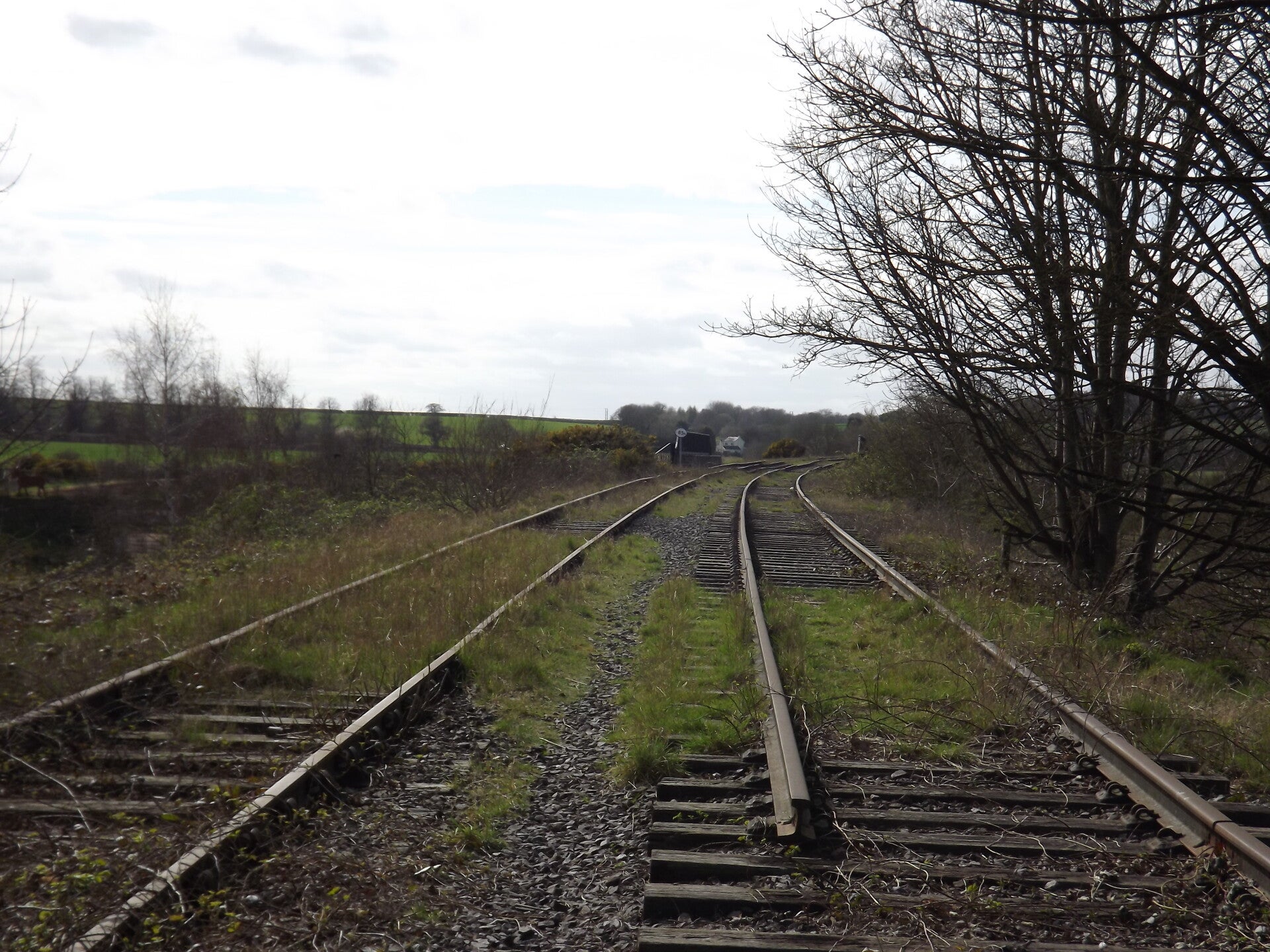
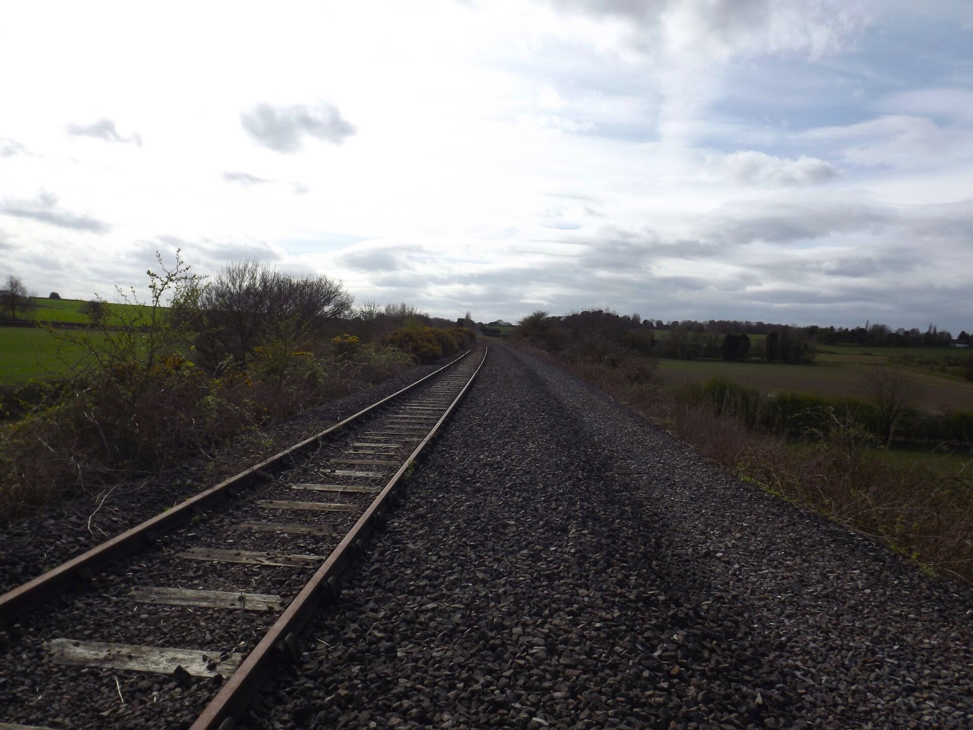
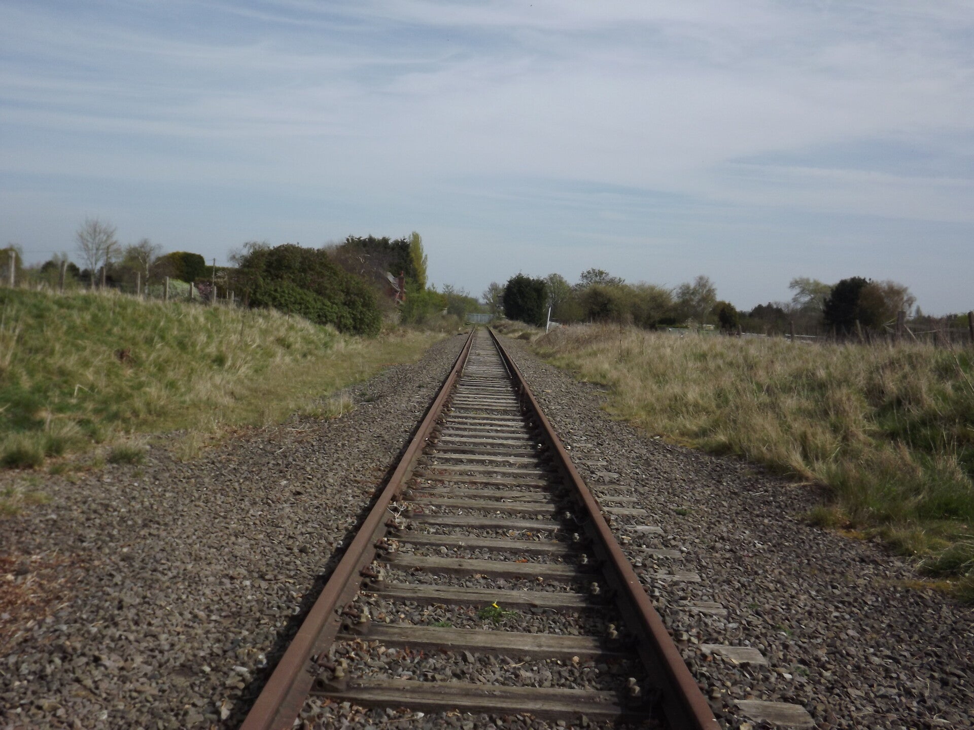
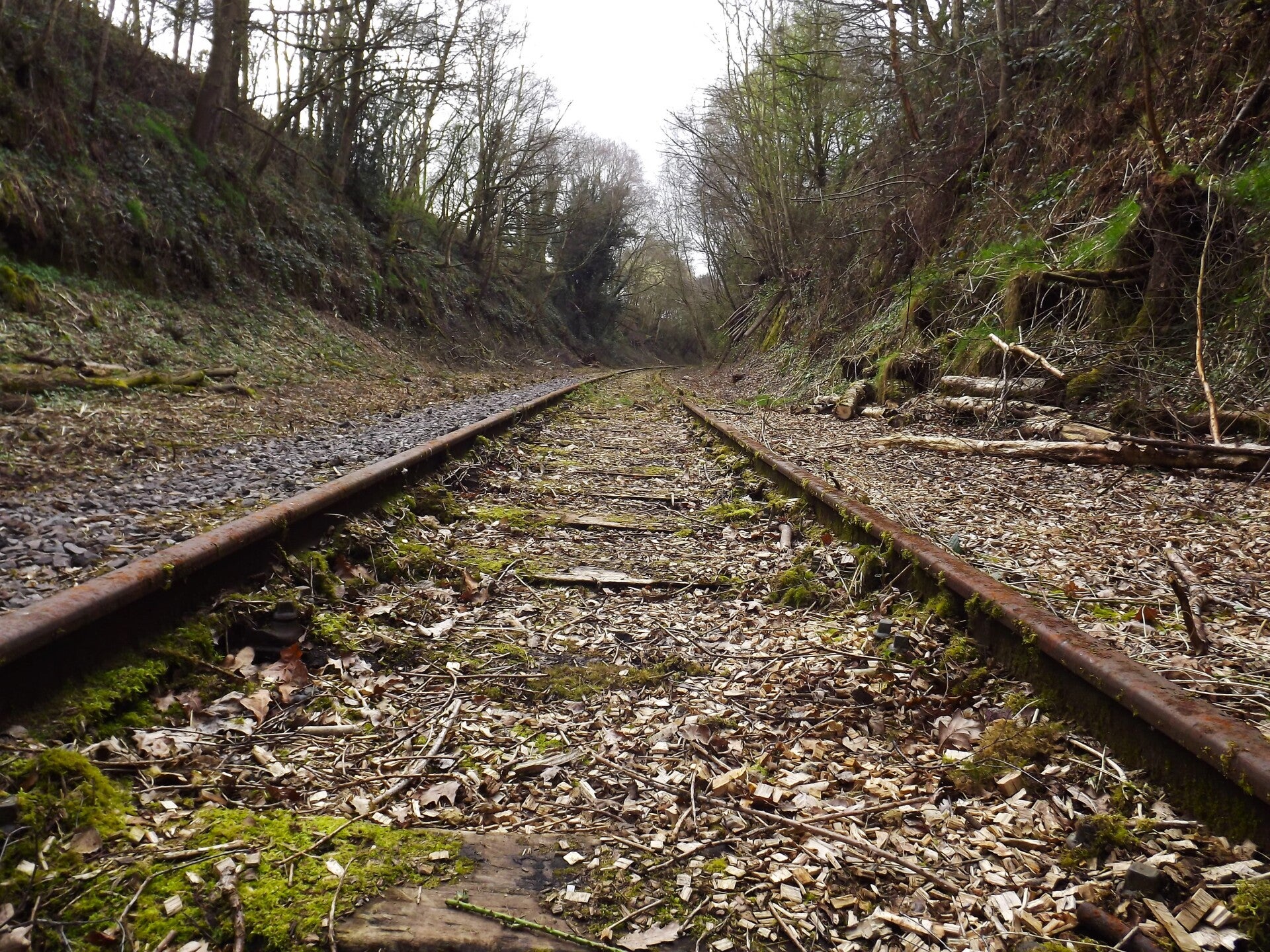
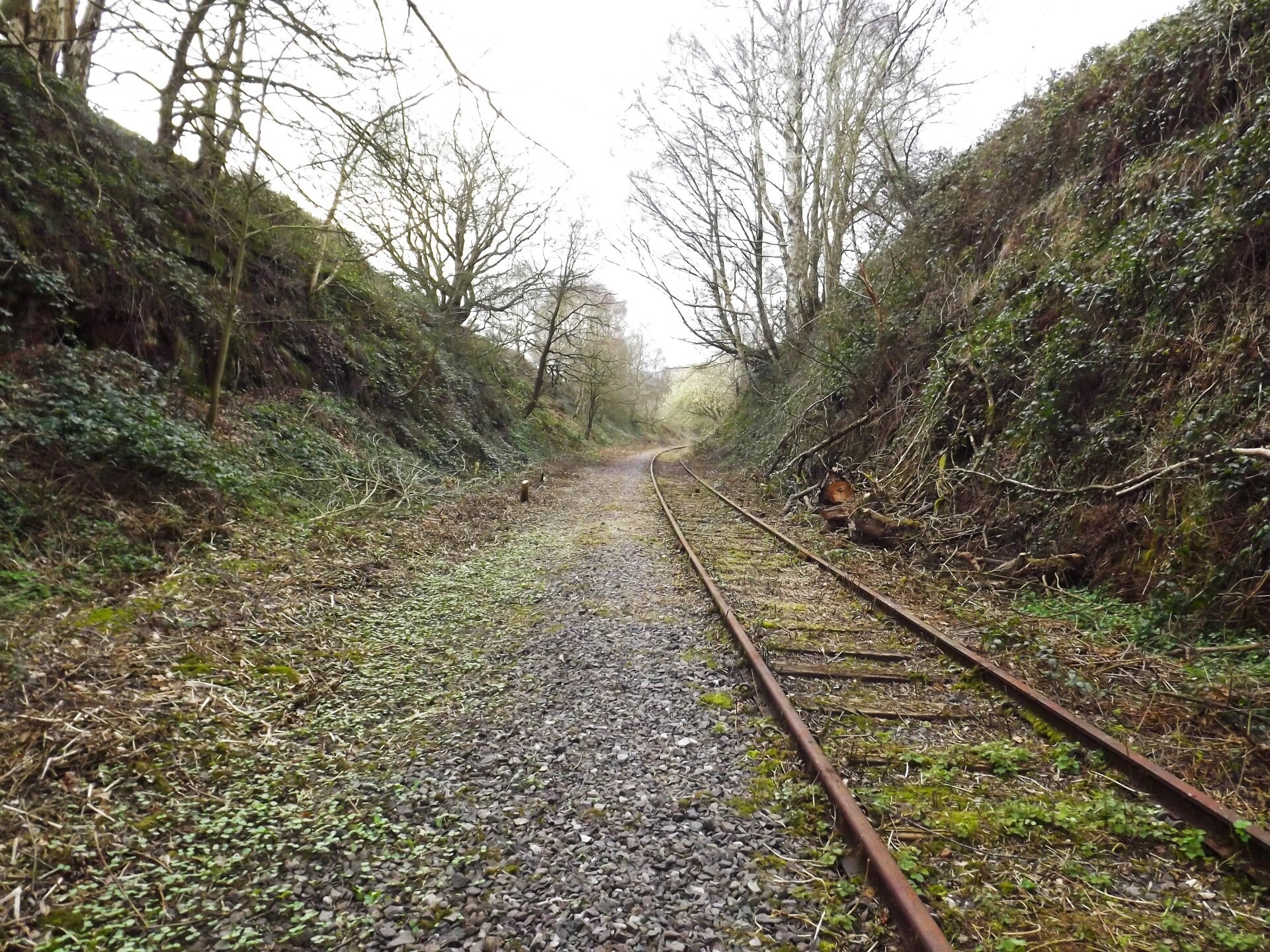
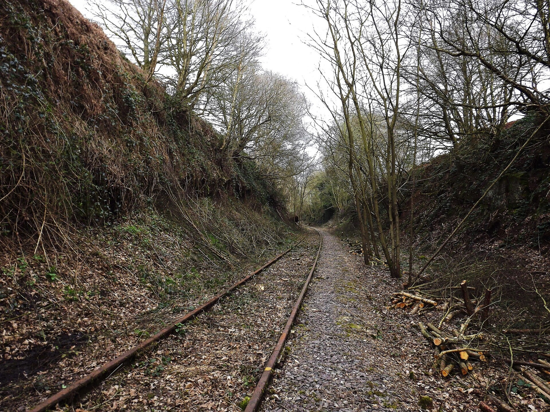
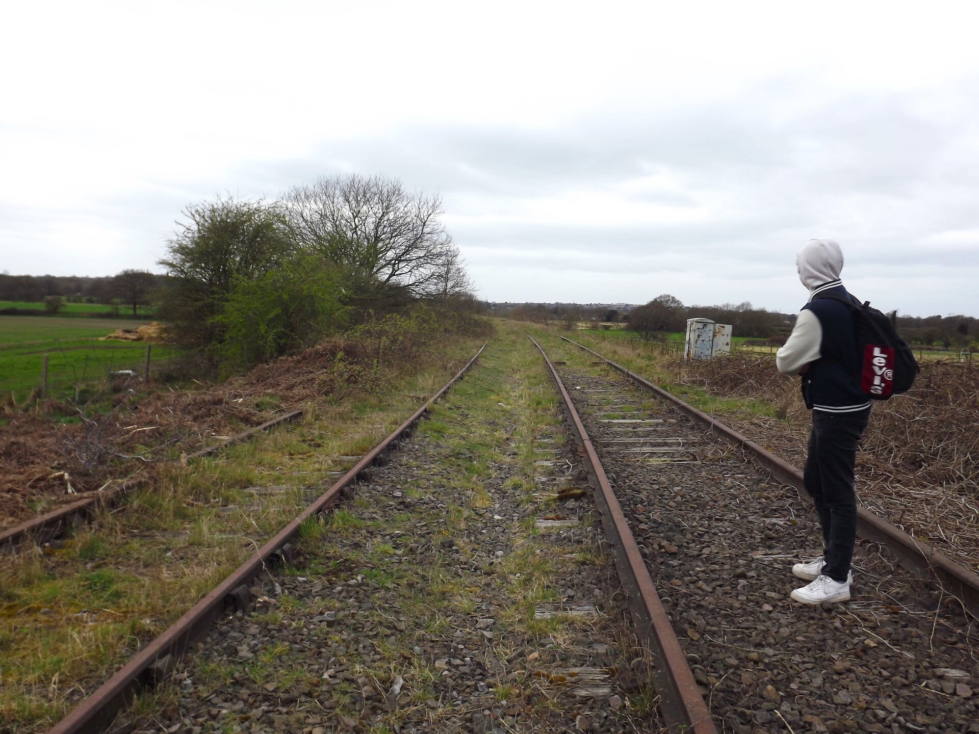
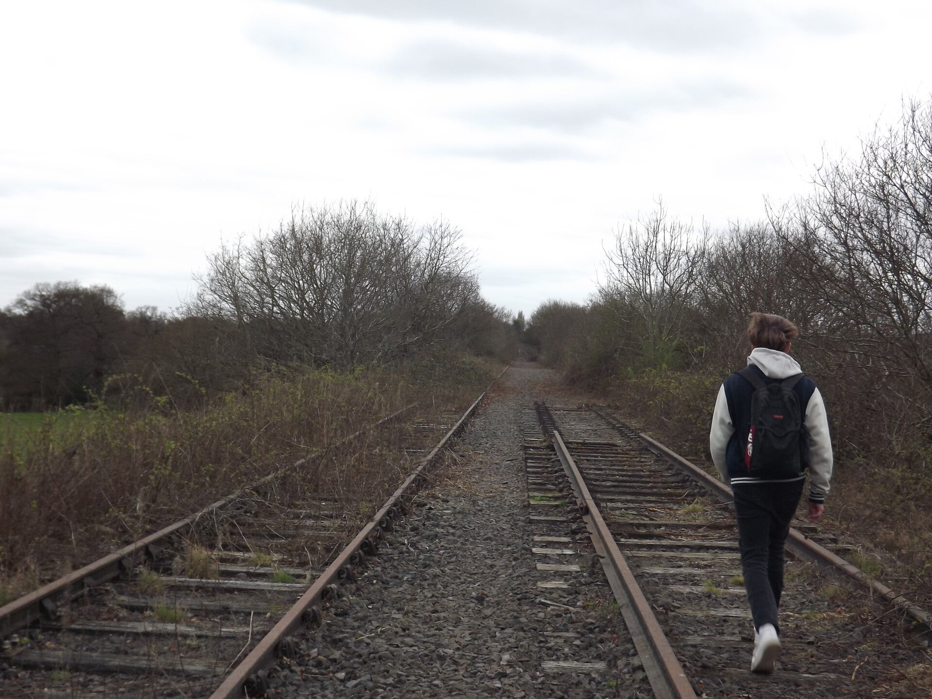
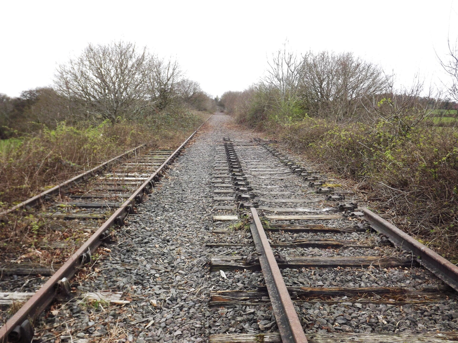
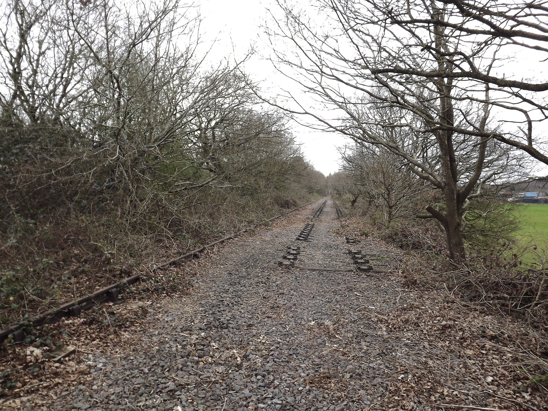
There would have been two tracks here previously (one for each direction) but along much of it there was just one at the time of photographing. That said, along these sections, you could often see some leftover sleepers and pieces of the second track, as well as the dip in the ballast where it once lay.
The second track was visible here in a degraded state, with one rail missing.
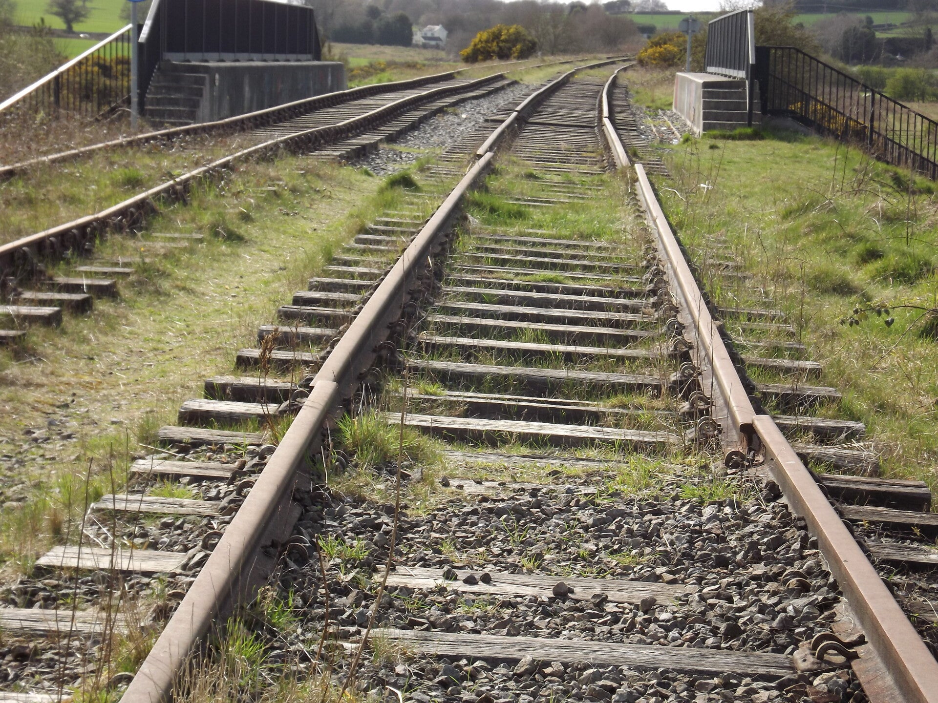
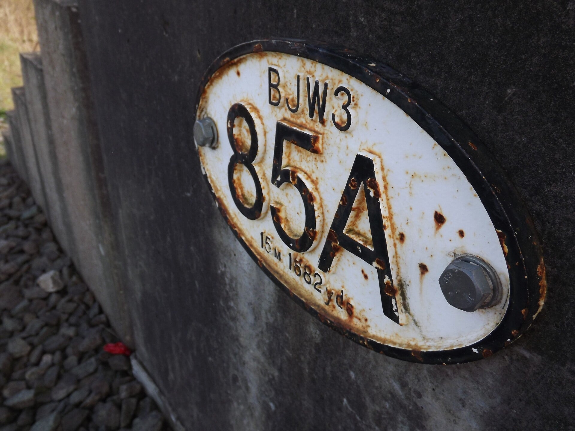
But the first section featuring both tracks in a complete state wouldn't be until just before bridge BJW3 85A.
The rail joints had all been removed, resulting in quite the sight! lots of the rails had moved owing to thermal expansion and decades of being exposed.
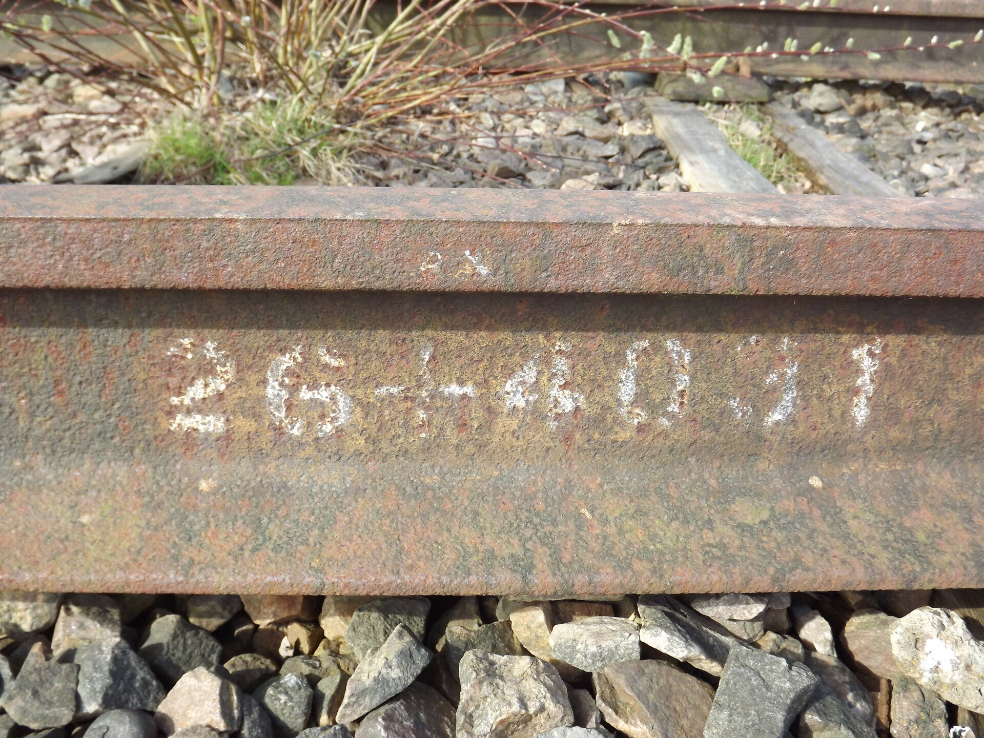
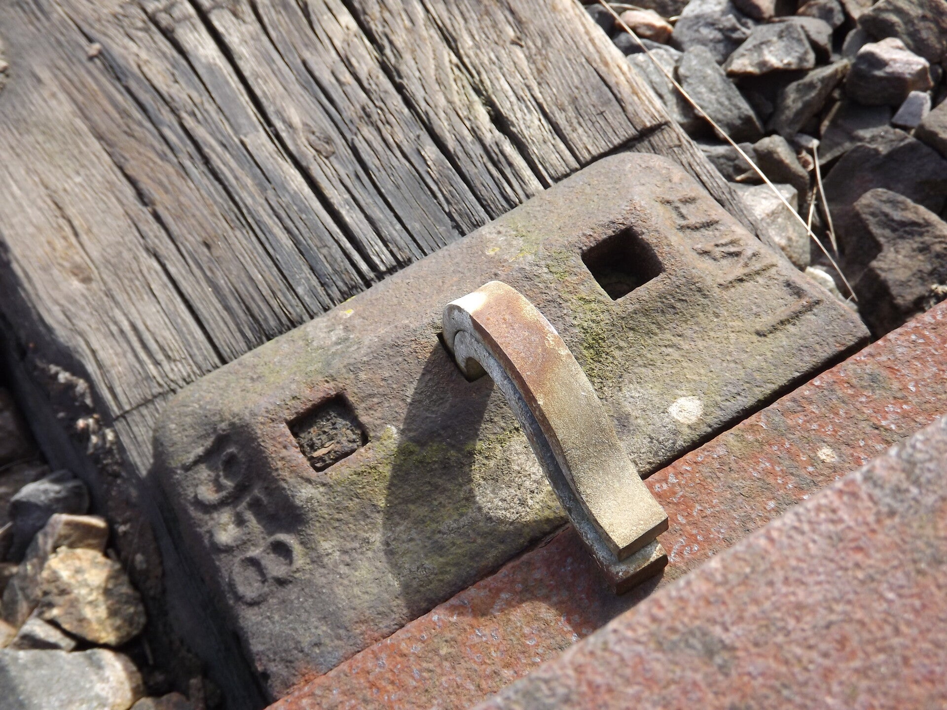
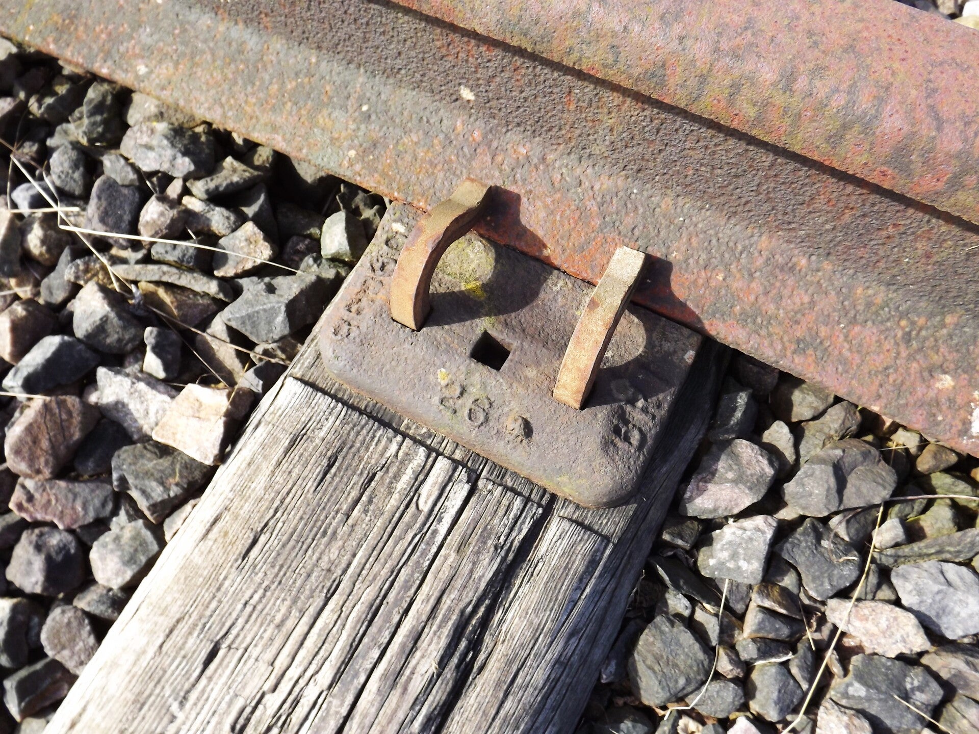
Many of the fastenings had gone missing - but they often had what appear to be dates on them. In this case: 1958.
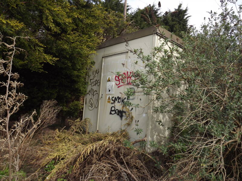
Some cabling and another cabinet was found which may have been for signalling purposes.
After the electrical box was another section featuring just one track, but as mentioned earlier, the ballast preserves the second tracks position.
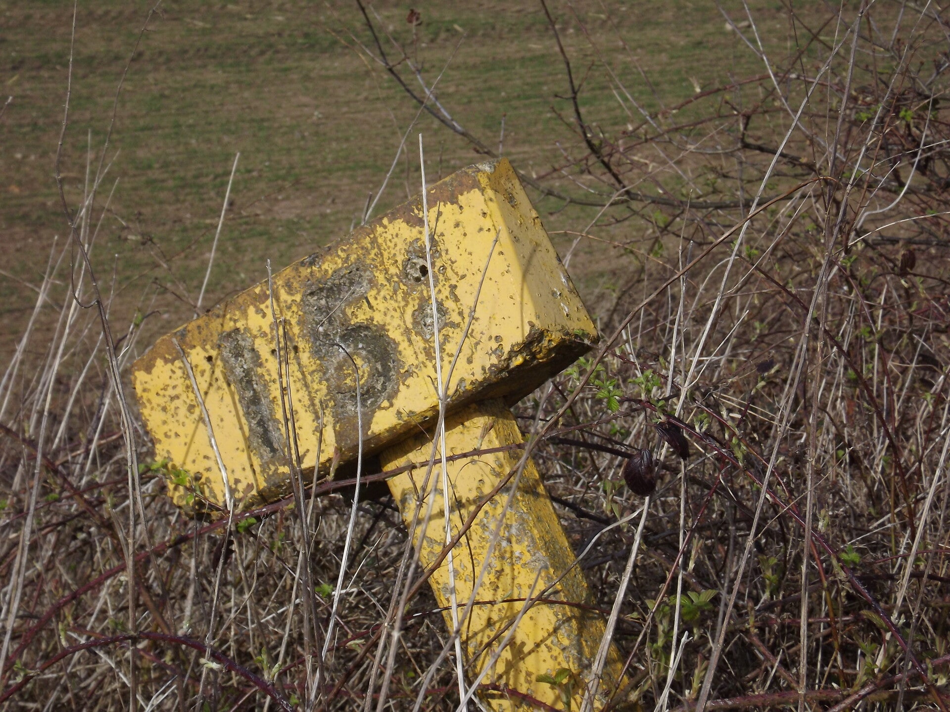
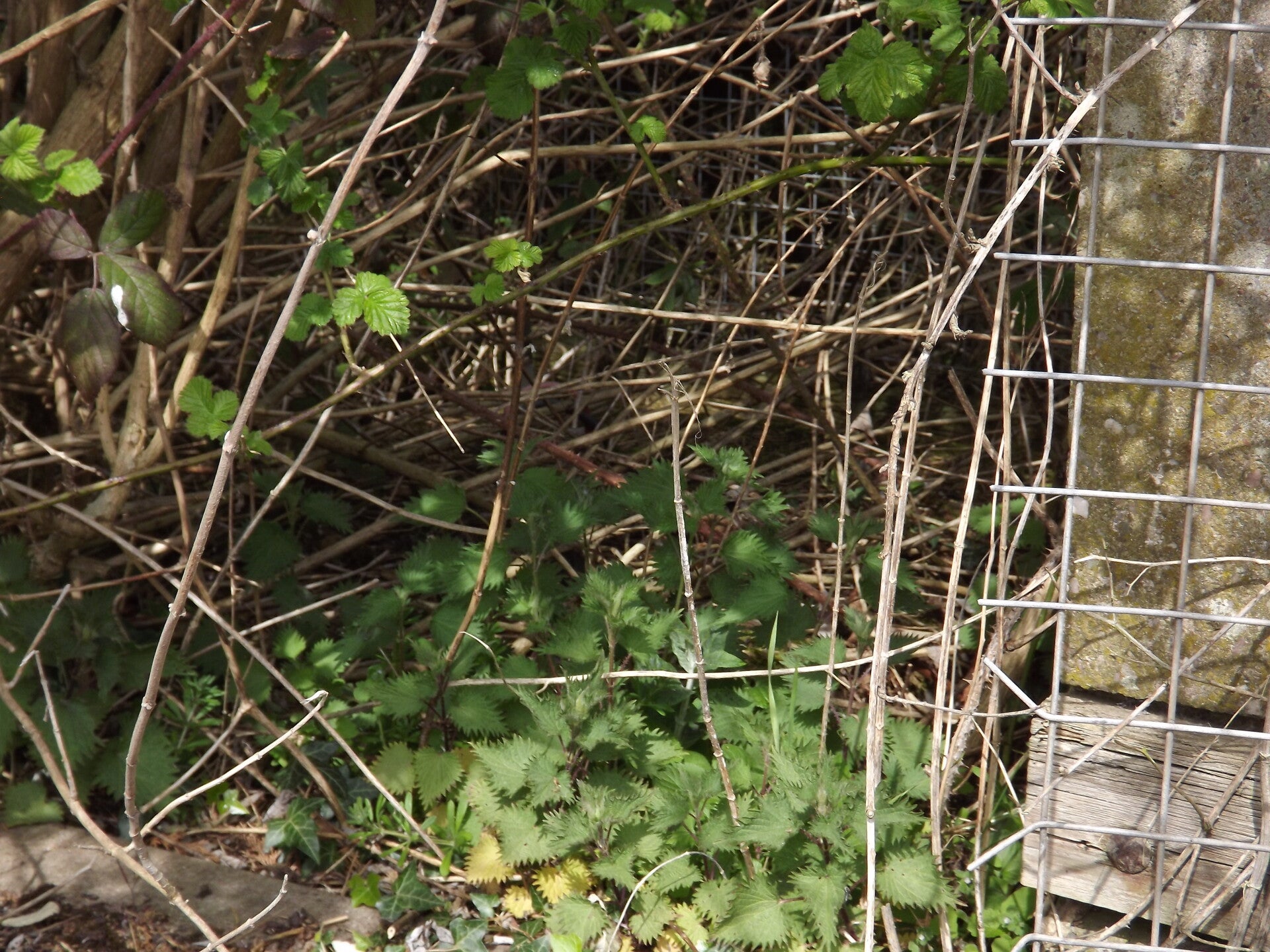
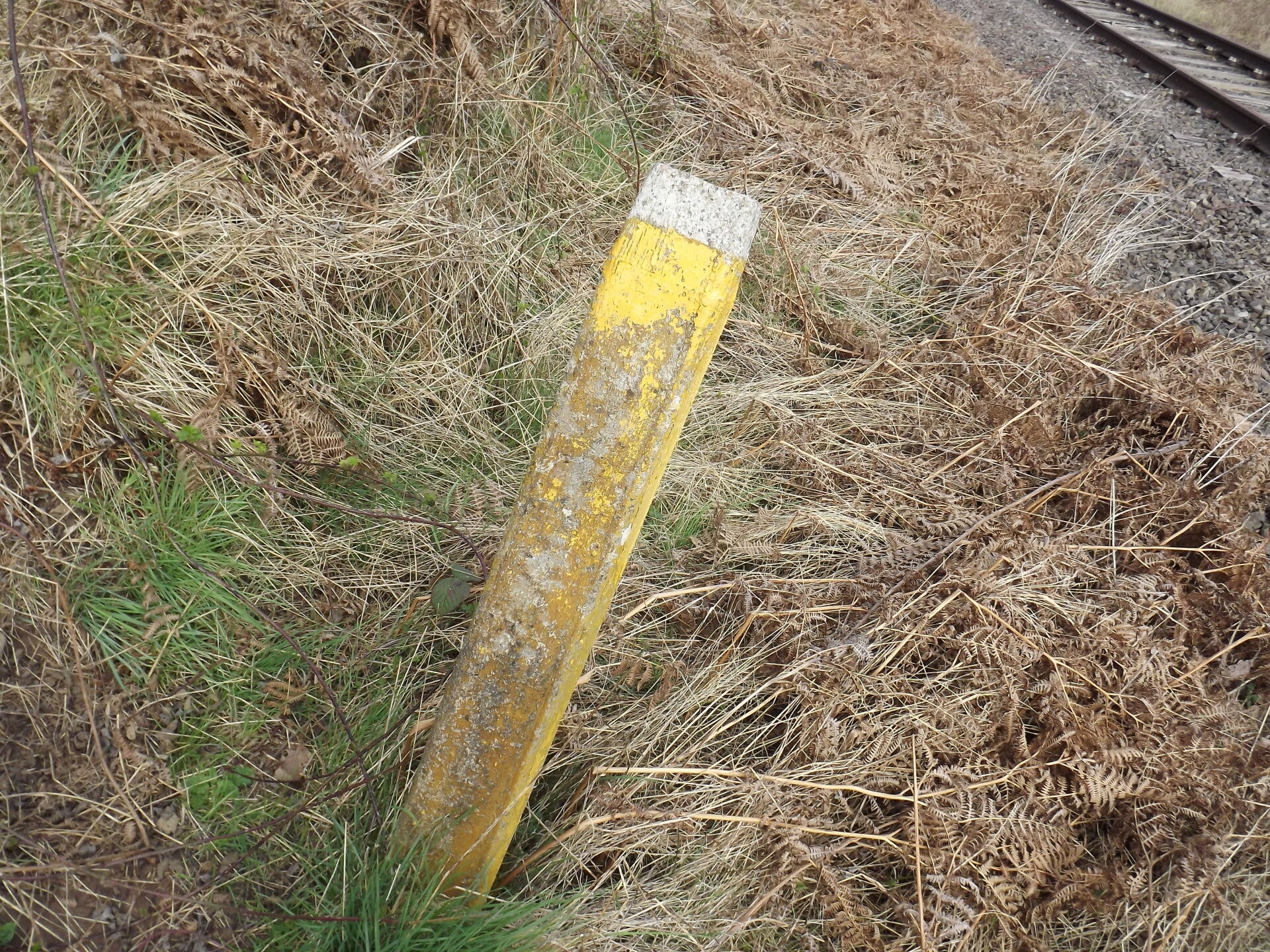
A wounded 15.5 milepost was found in the shrubbery along one side of the tracks.
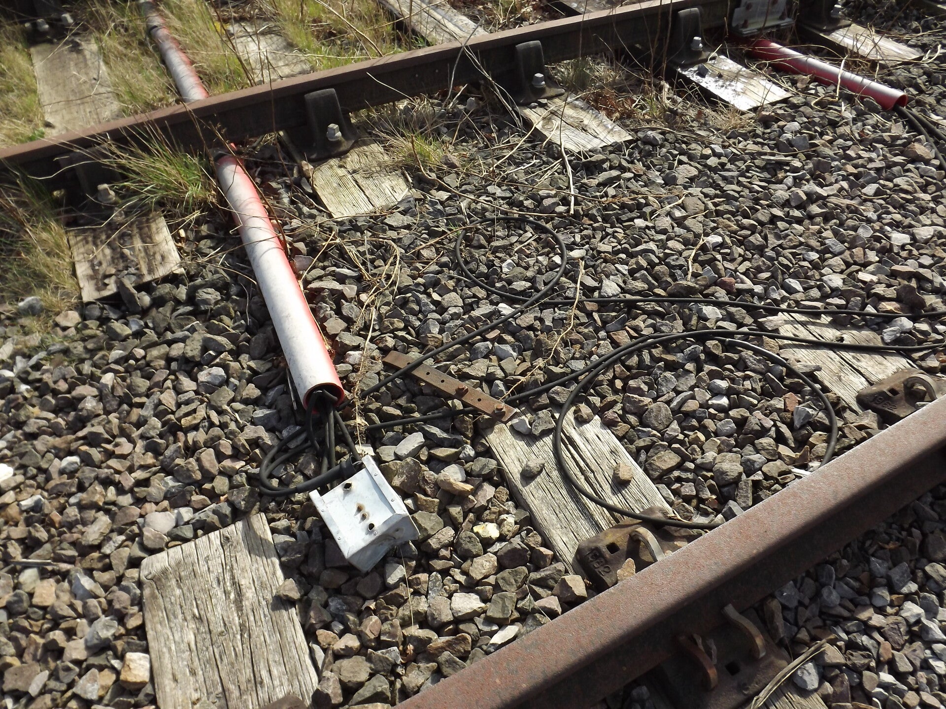
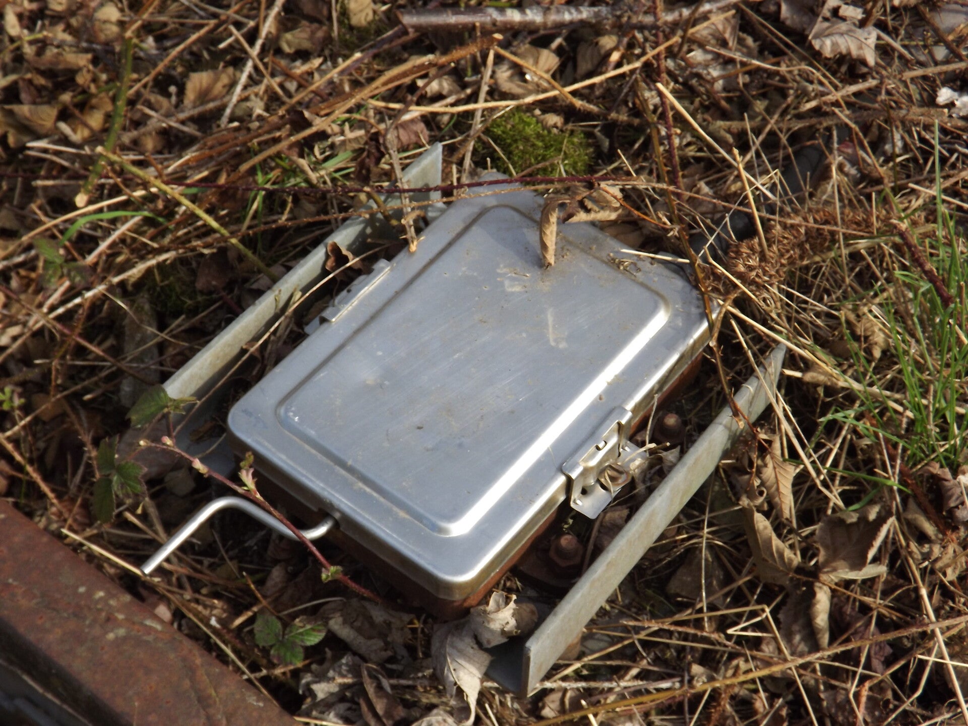
Just before Fosseway Lane level crossing is this treadle, used to detect the position of a train.
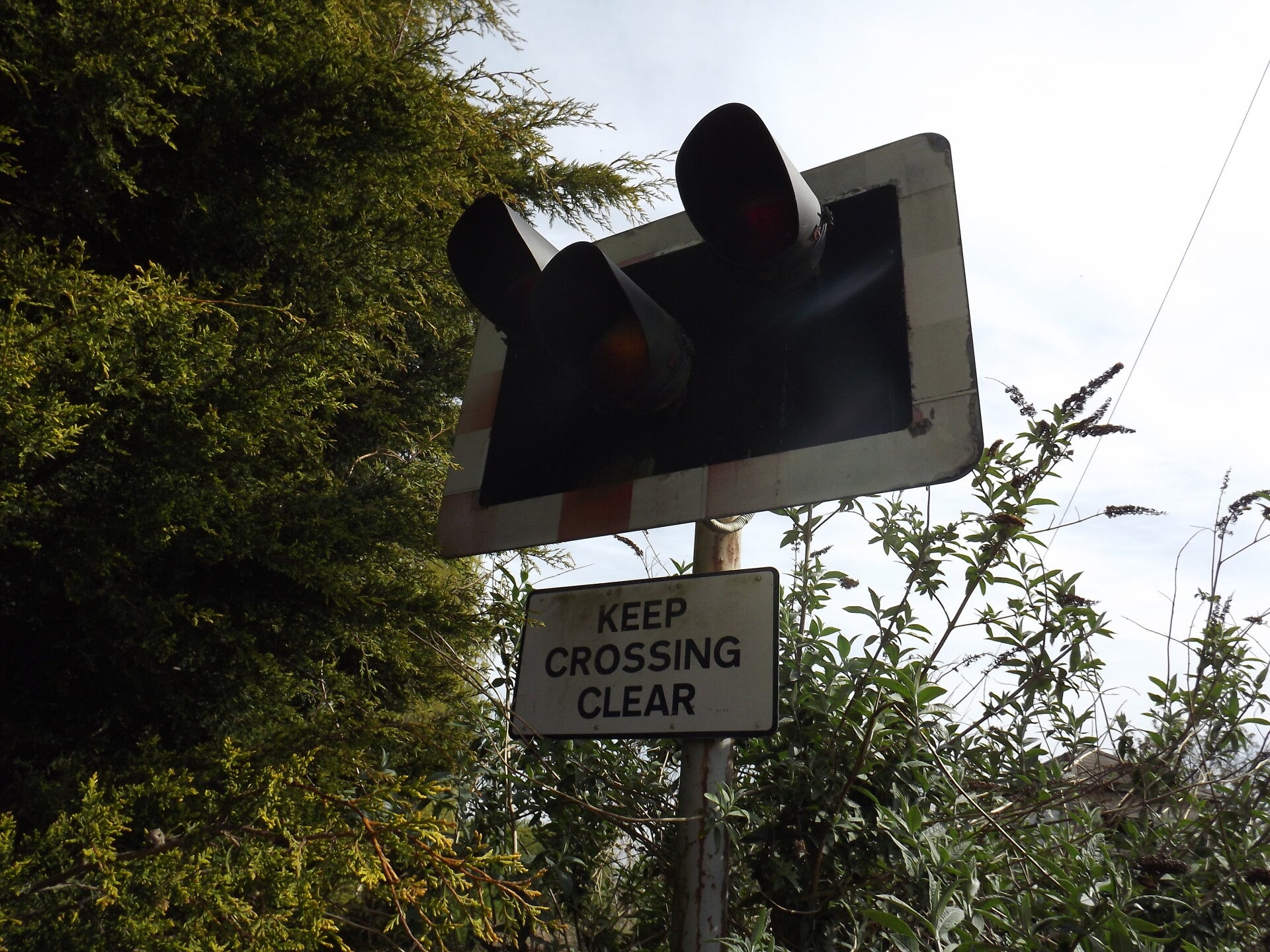
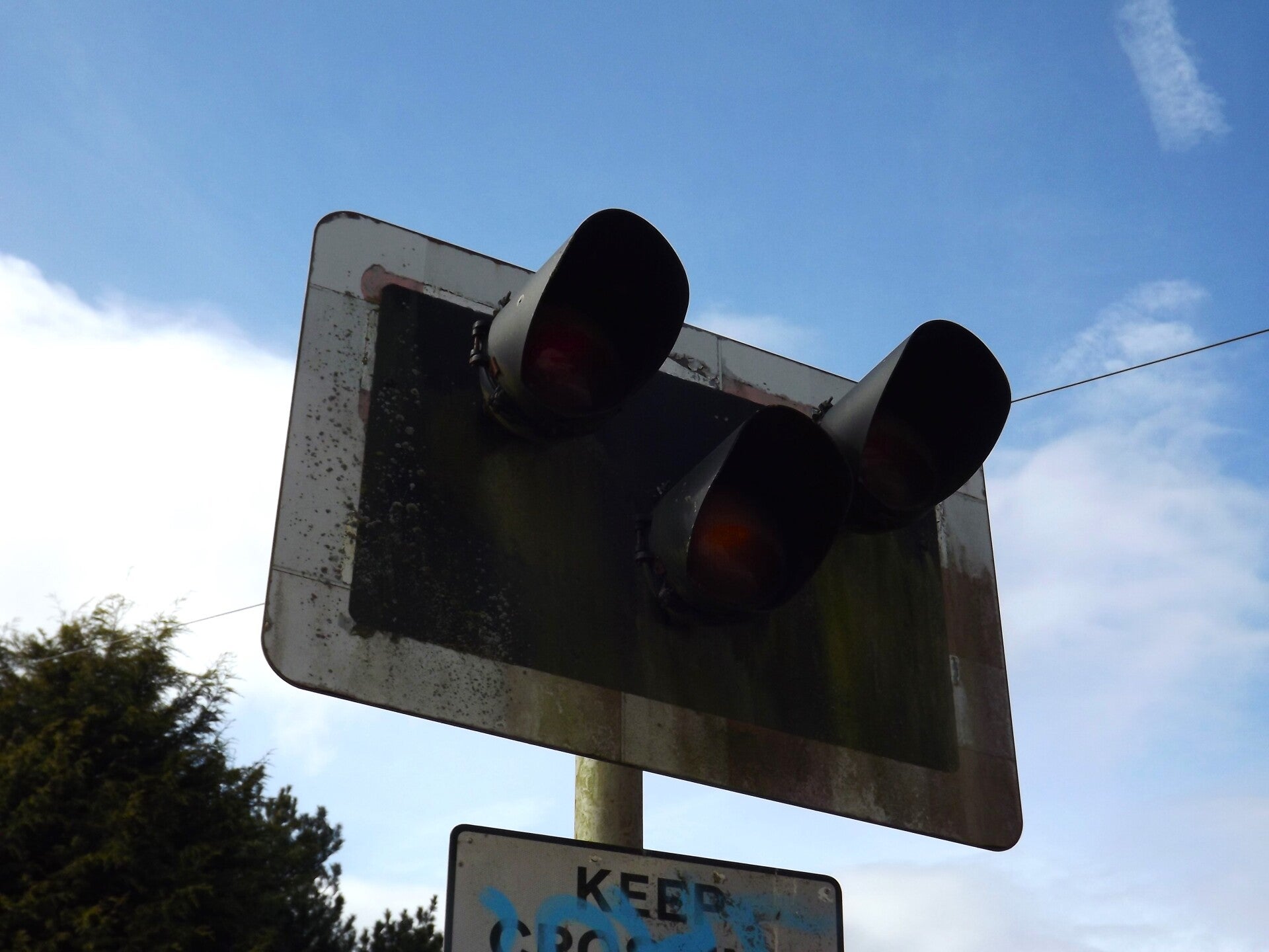
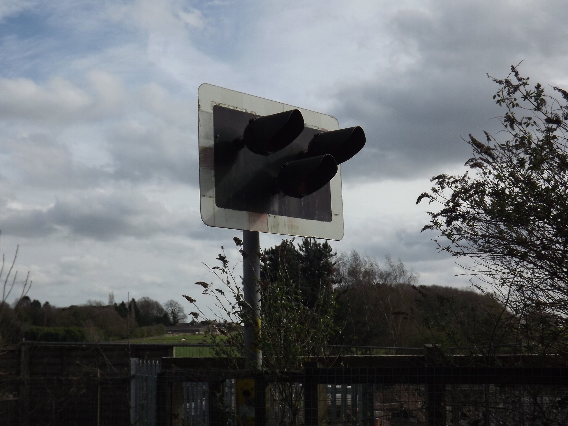
And this brings us to one of the highlights of the trip: Fosseway Lane Level Crossing. Now entirely abandoned - but the four signals and control cabin are still in place. I'm unsure as to the current status of the cabin and signals in December of 2025, but the council were pretty adamant during an enquiry by Mike Barford that the signals at least would remain. The following pictures of the crossing were taken on different dates, not just on this one visit. The south-east signal was almost entirely consumed by nature.
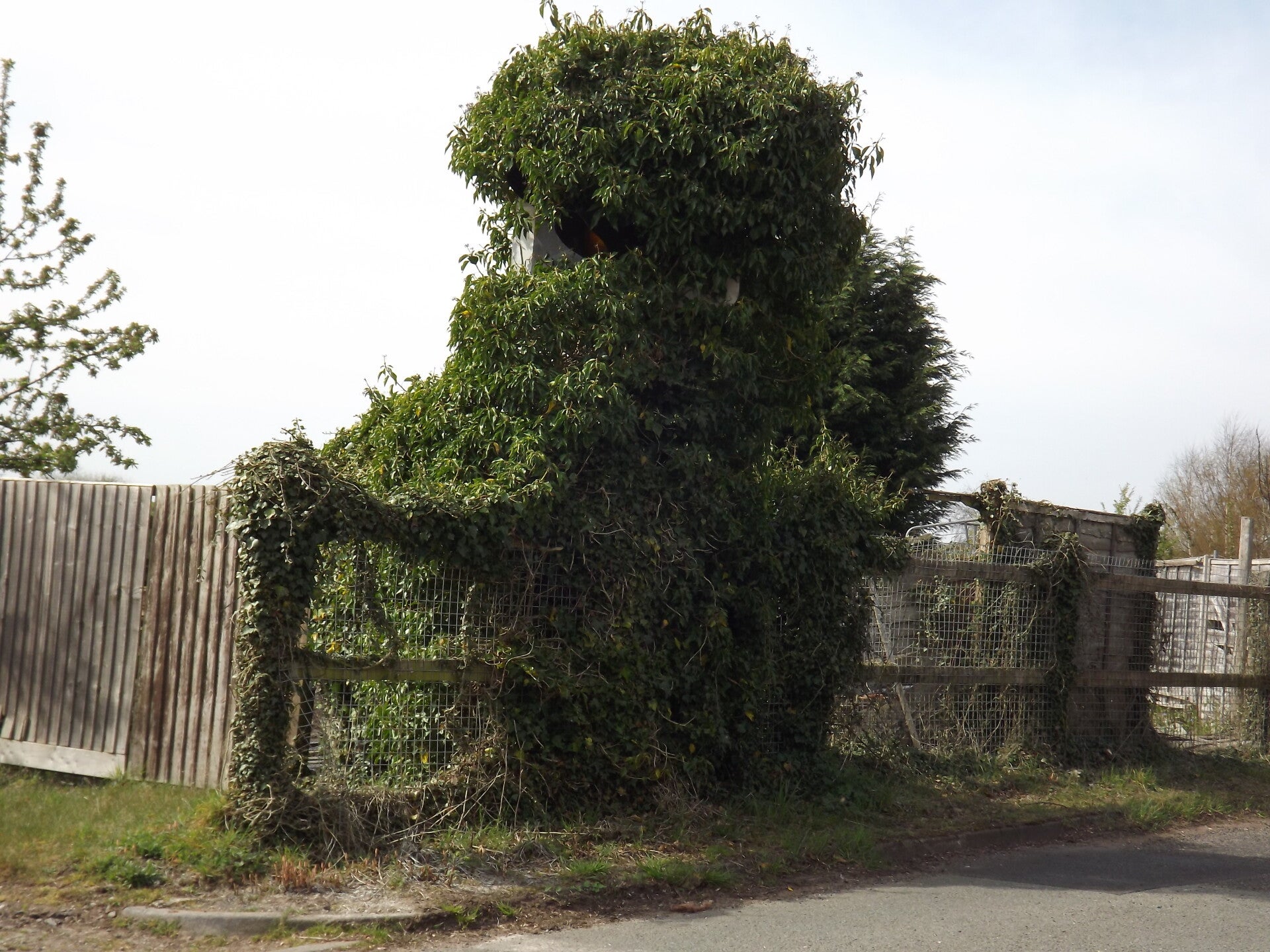
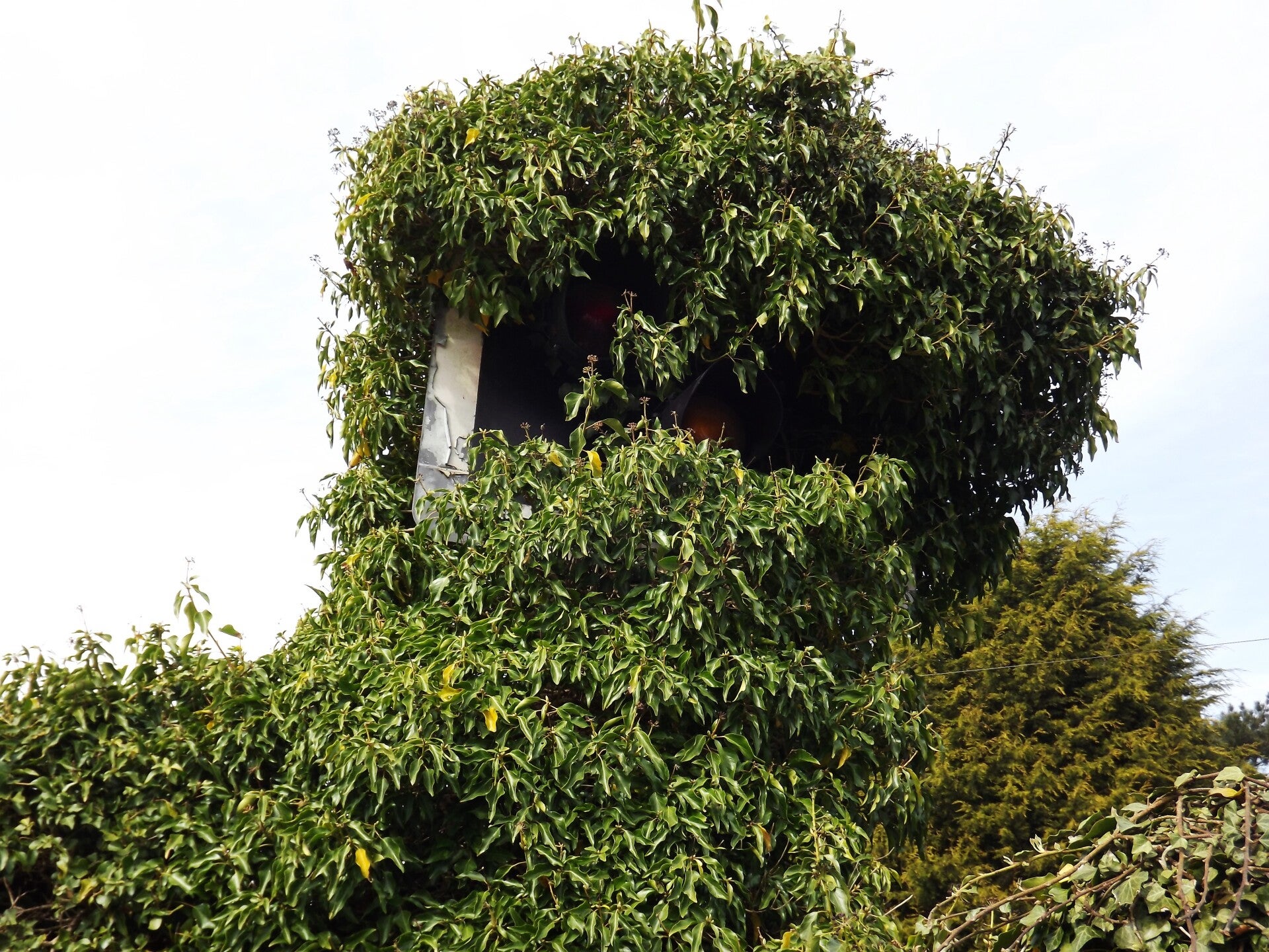
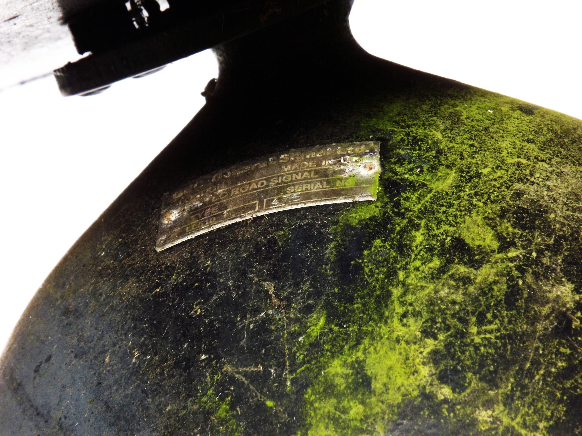
The signals are made by GEC - LC Road Signals (aka LL510)s.
The remains of some SOS phone boxes were attached to some of the signal posts.
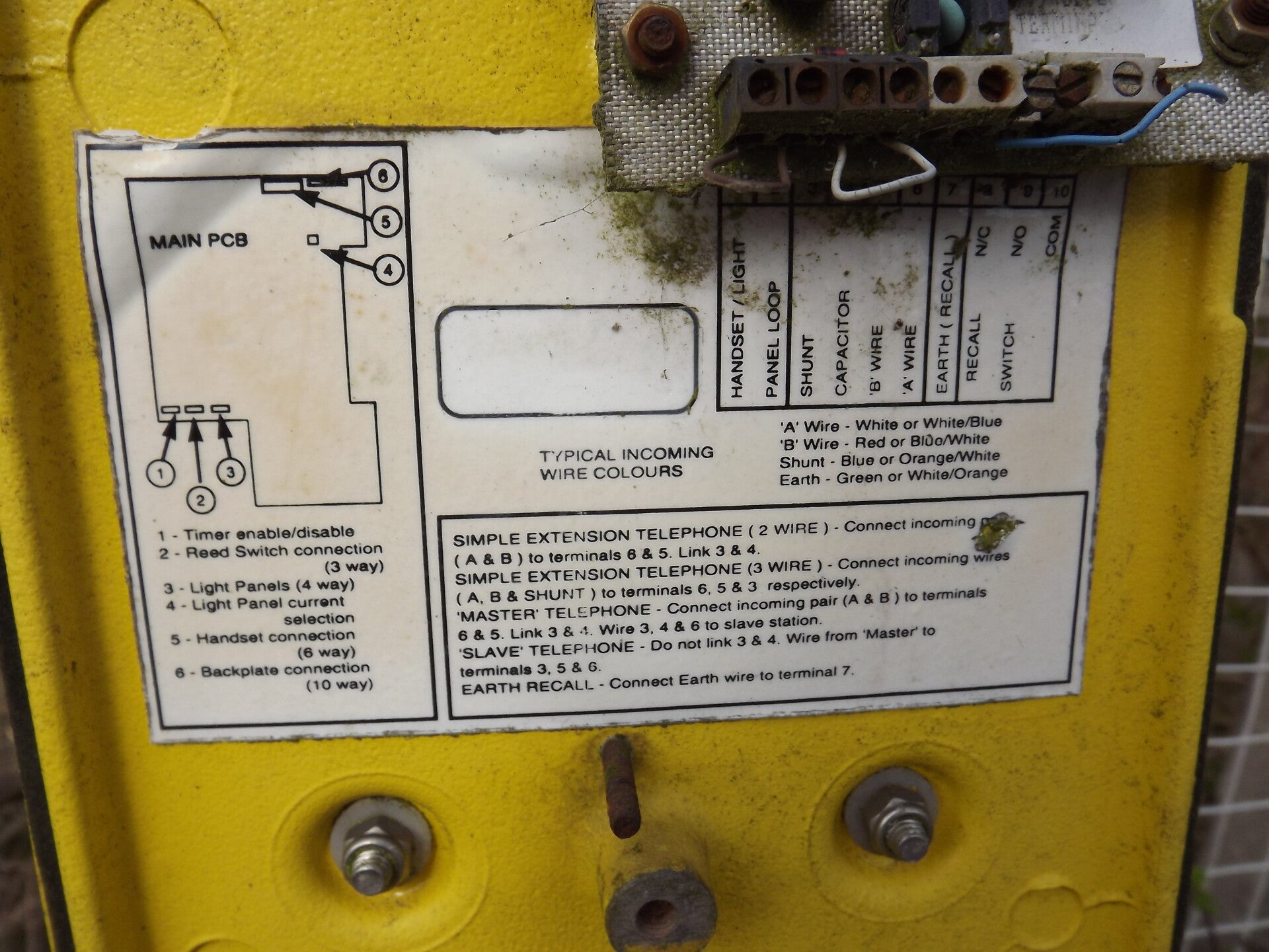
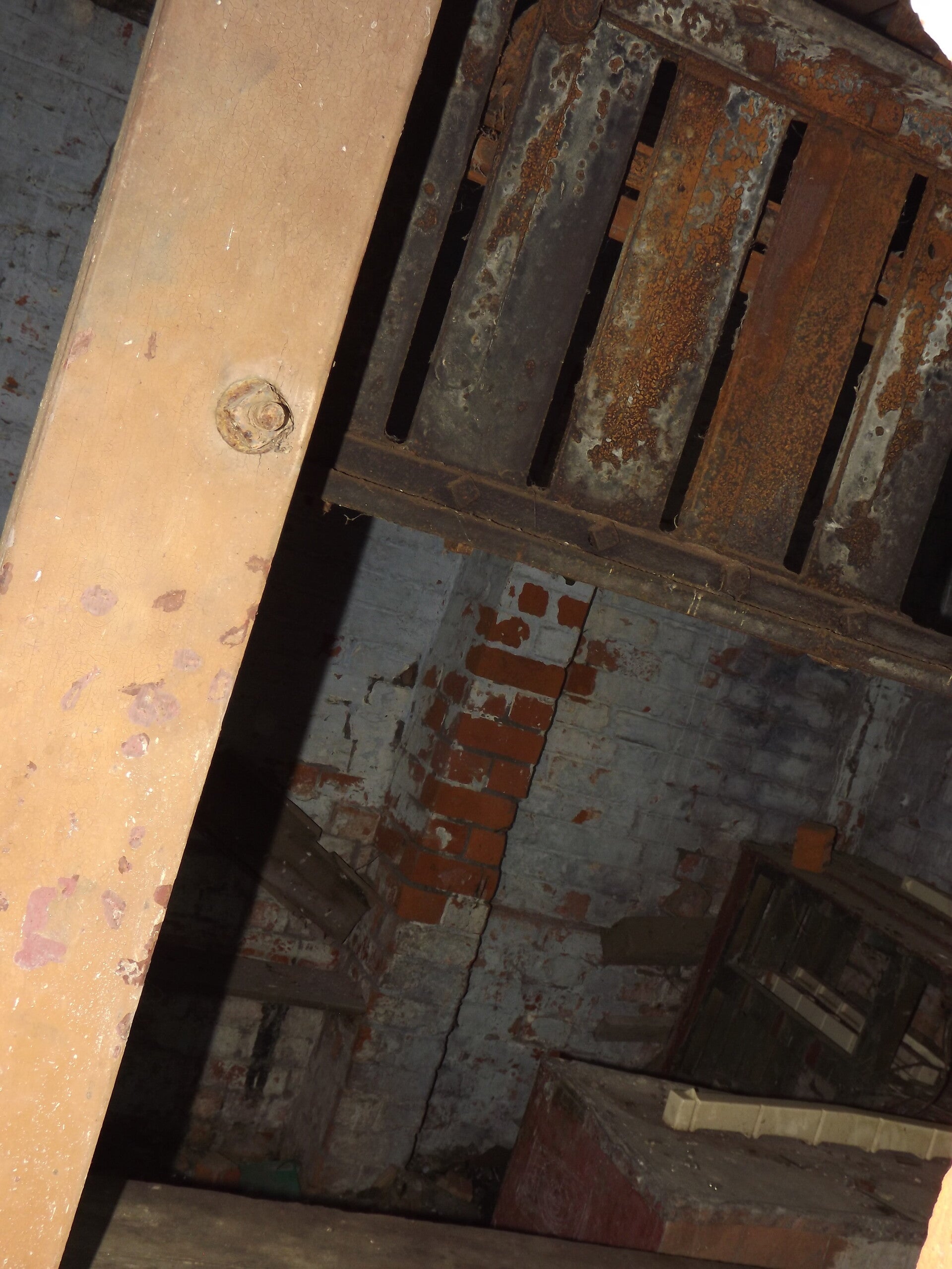
The crossing cabin was inaccessible but still was furnished at the time of photographing. I poked my camera through the mesh that stopped people entering.
A fuse box was found next to the level crossing cabin.
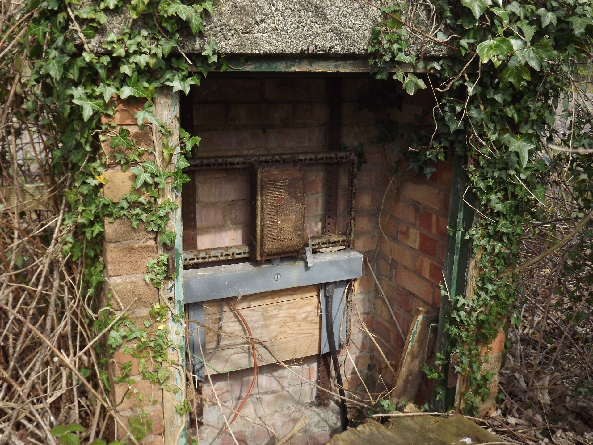
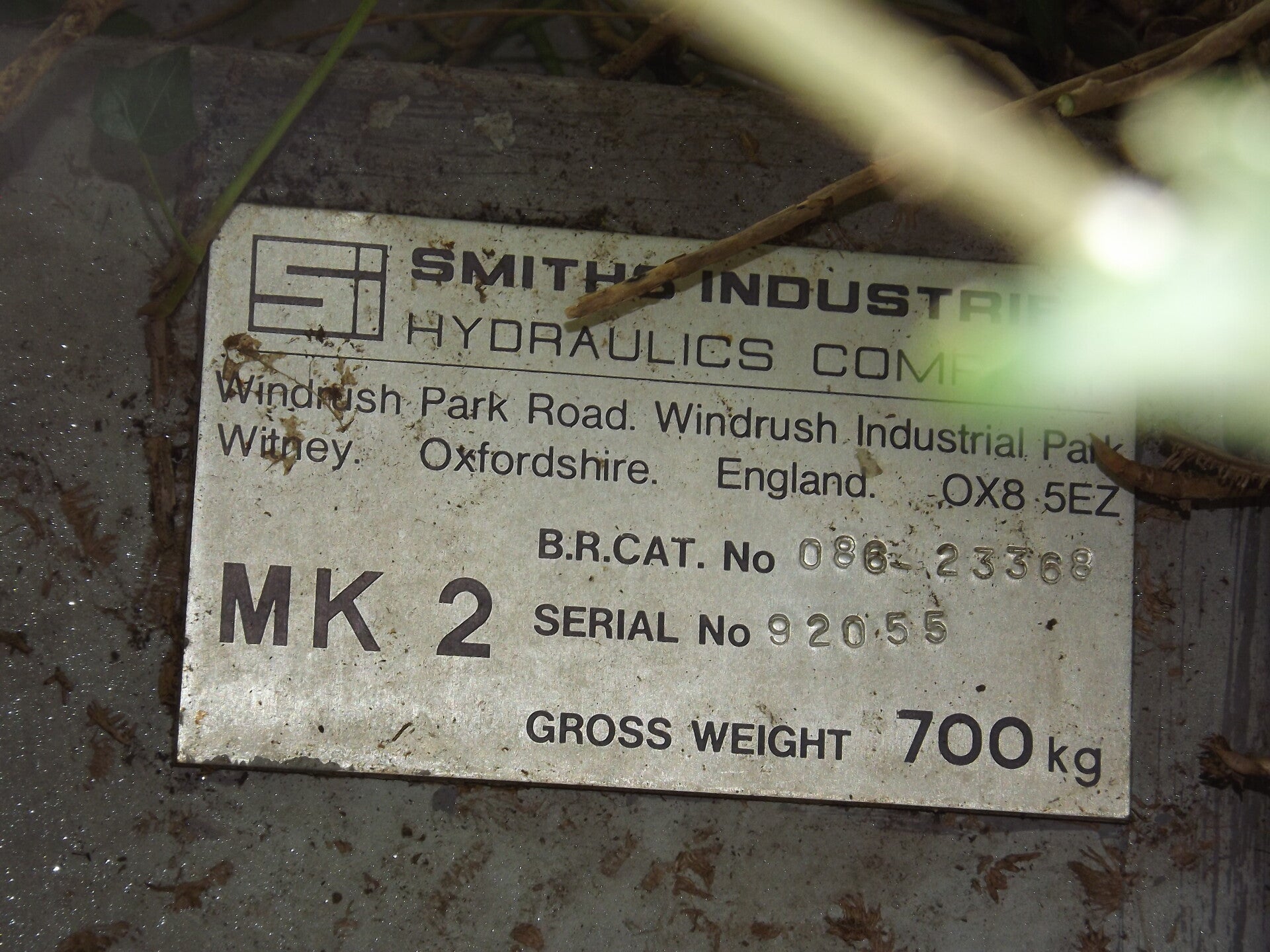
The crossing would have had barriers originally - one at either end of the crossing. A barrier box was found in the bushes (as well as the former position of another). They were made by Smiths Industries Hydraulics Company.
The other barrier would have been situated here:
A gap in the fence led us onto the next section of track.
On the approach to the level crossing was this degenerating "whistle" sign made by British Rail. It indicates that a train must blow its whistle to announce its approach to the crossing.
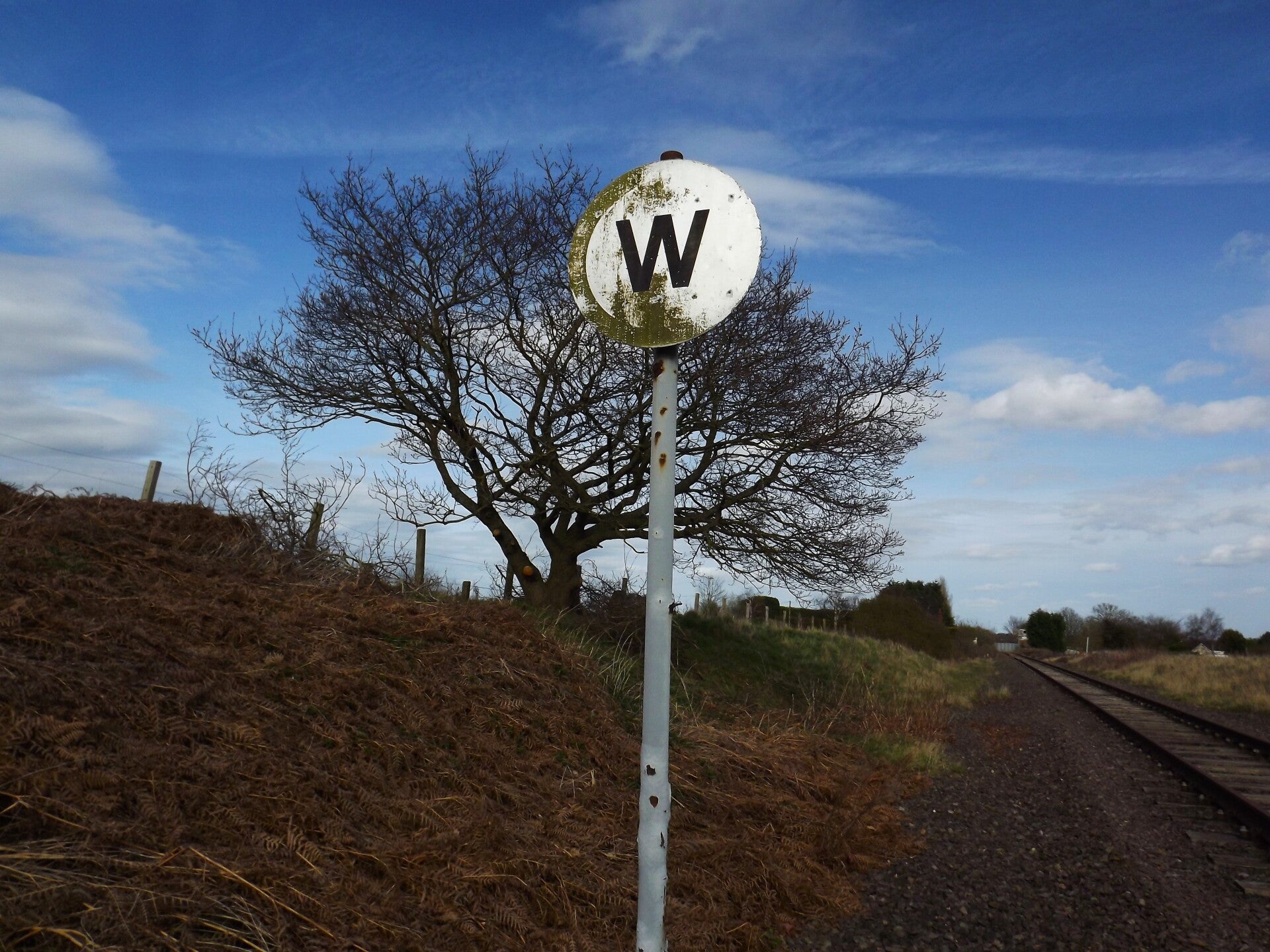
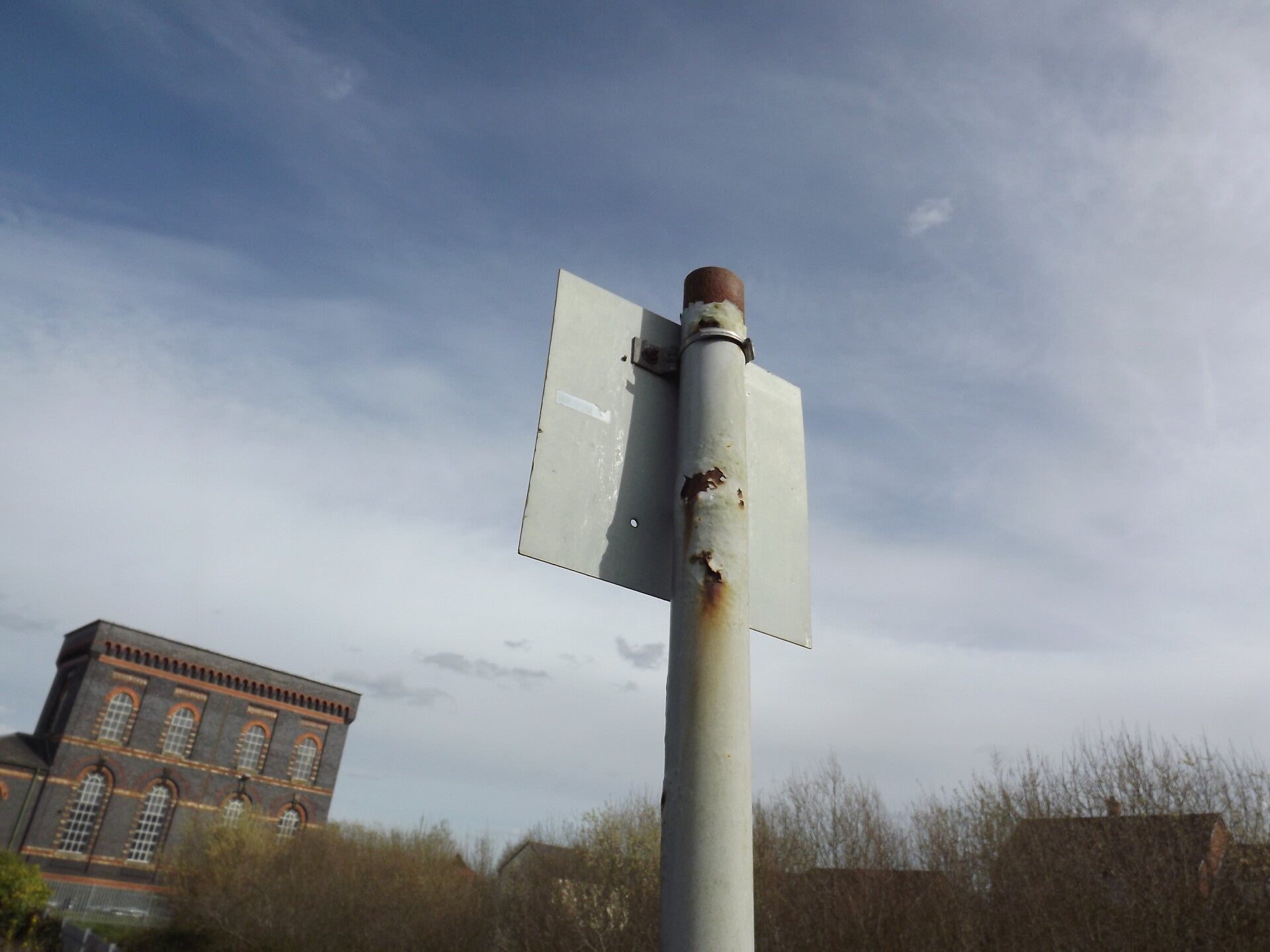
What I think is another milepost was found near the whistle sign.
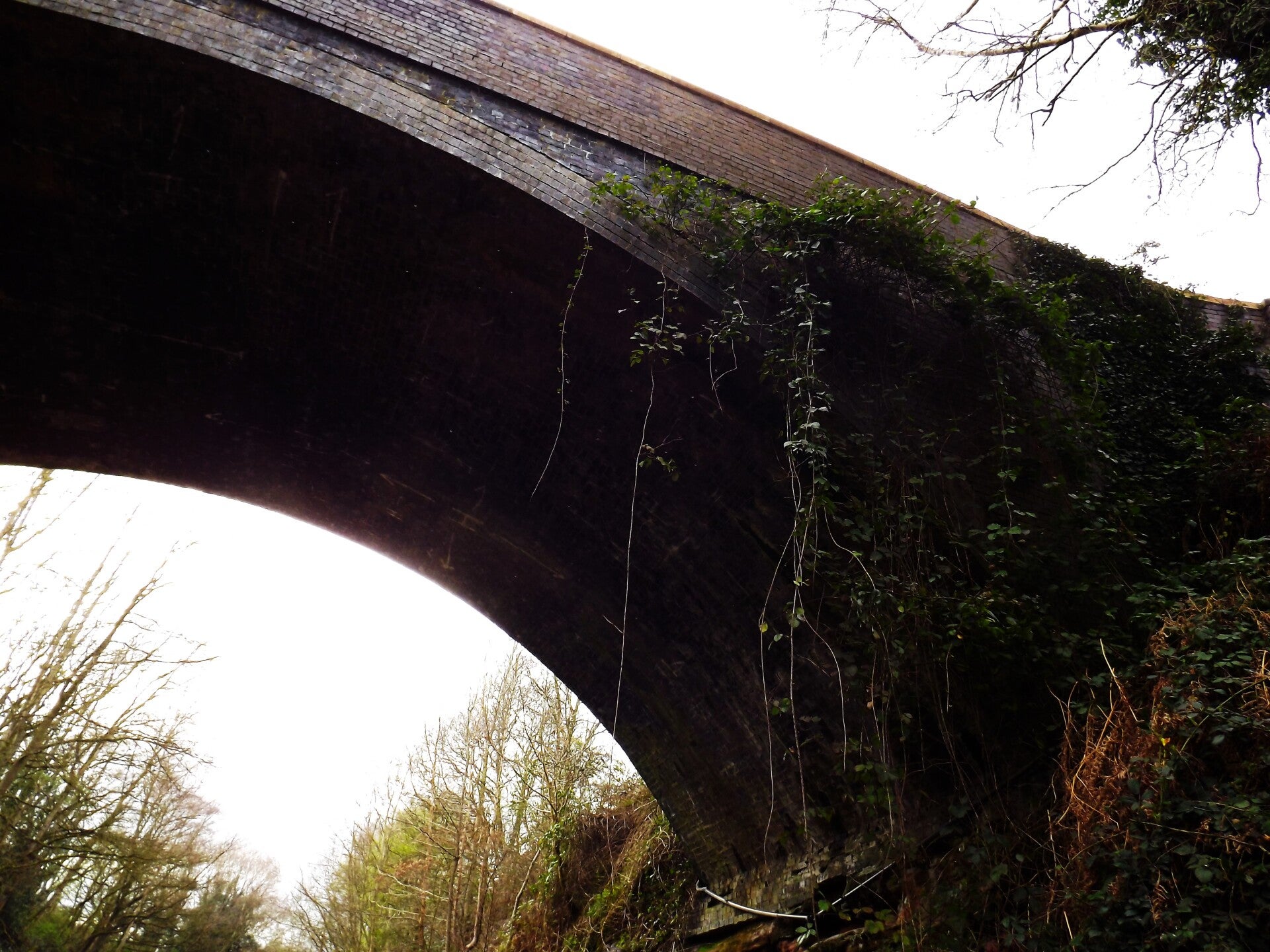
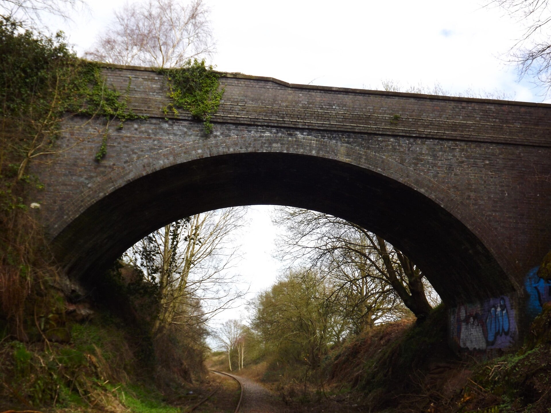
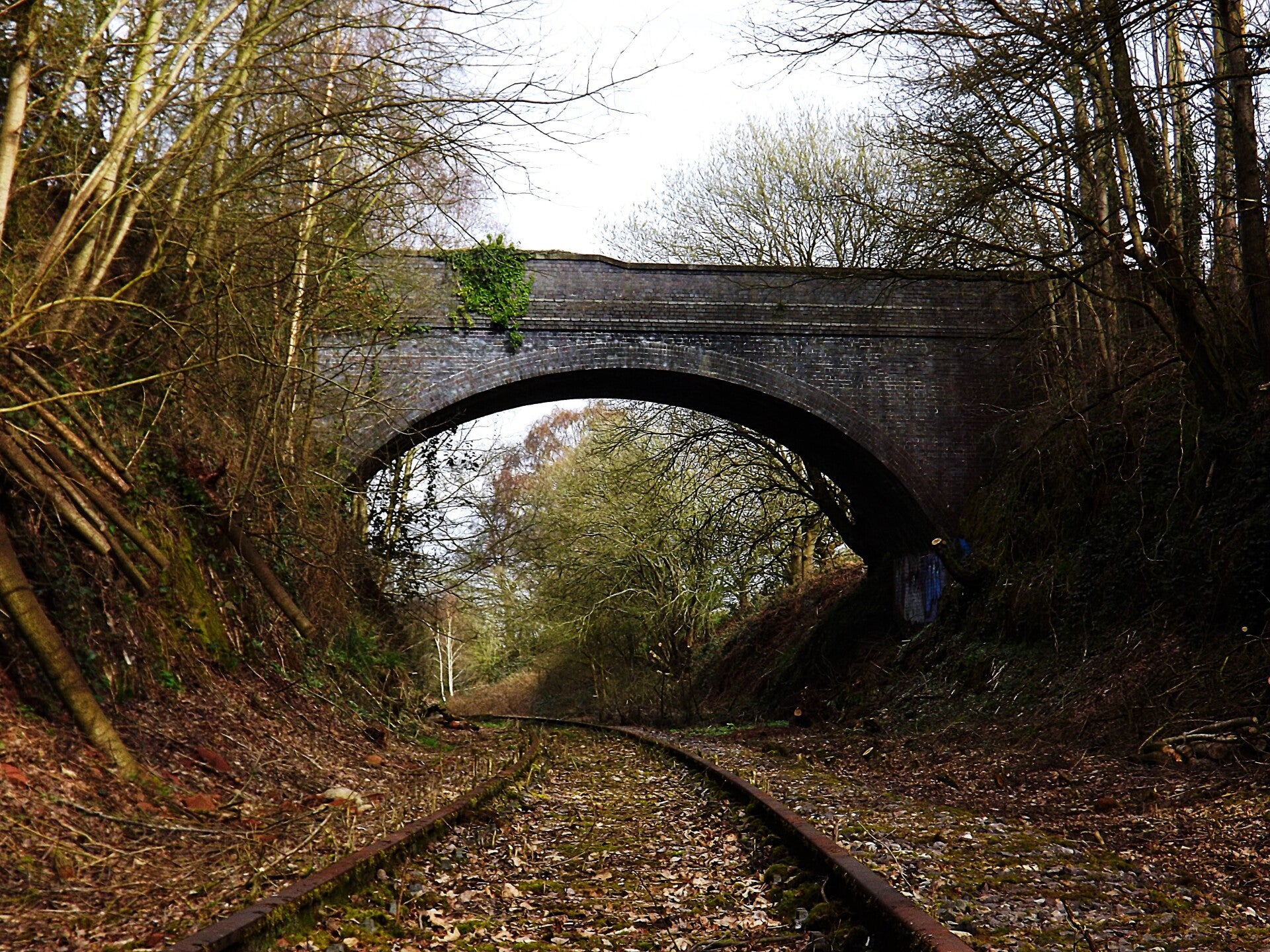
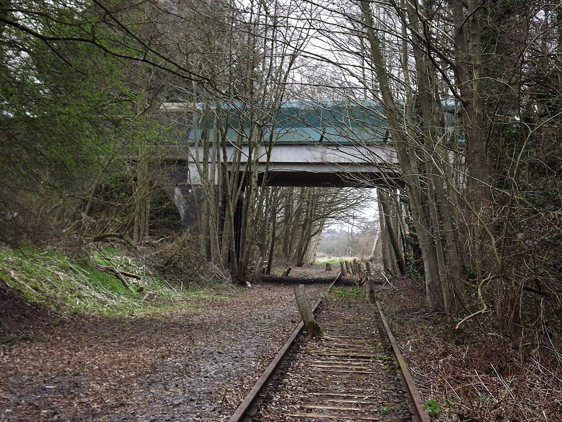
Not far up the tracks is another bridge, this one carrying Wall Lane over the railway.
Many of the trees along this section of the line had been cut (or fallen down onto the tracks).
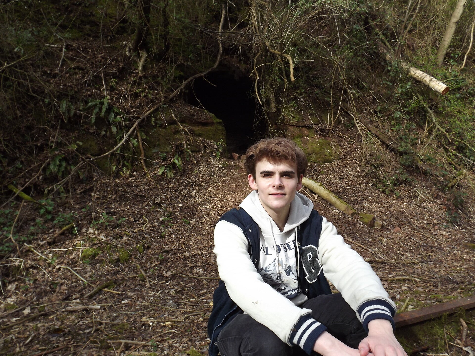
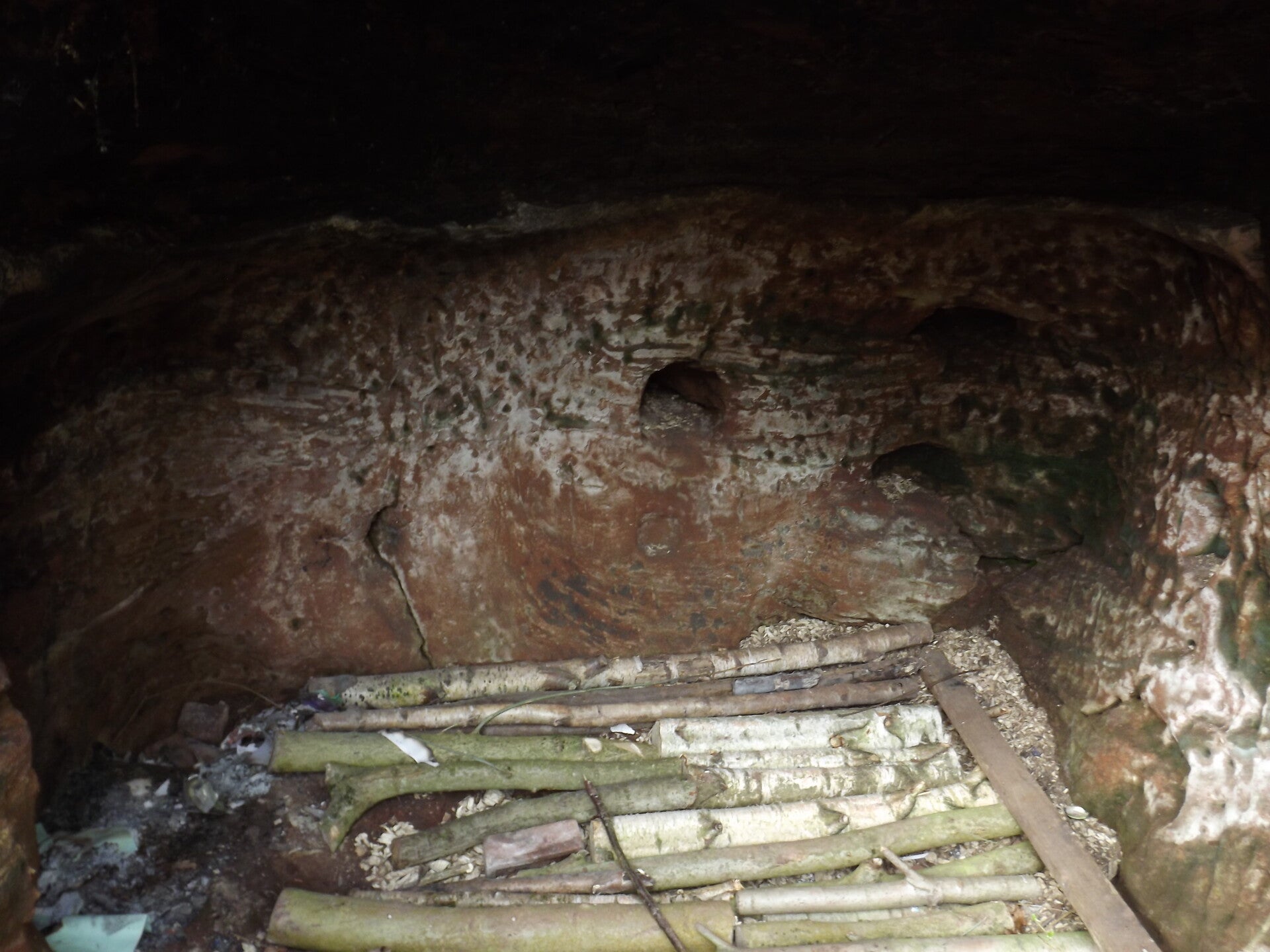
A small cave was found next to the bridge in the rock. It featured a log floor as well as evidence of fires set in the past - the cave possibly having been used as shelter by youths or a homeless person.

The track then curved slightly to the north, and roughly 640m from the Wall Lane bridge is the next bridge along the tracks. It takes Walsall Lane over the tracks. There would have been two tracks here as well, but at the time of photographing just one remained. It is my understanding that the second track here was ripped up in around 1986.
The tree stumps within the boundaries of the remaining tracks indicate just how long the tracks have been abandoned - The last train to run along this section was in 2001 and served an oil terminal at Newtown, Brownhills, before the track was mothballed by Network Rail.
Both tracks were still present on a section after this, but many were missing rails, fastenings and/or had rotten sleepers.
But they didn't last long! As you can see, the northern track was the one to disappear this time.
The southern track was completely encompassed in impassable trees and bushes.
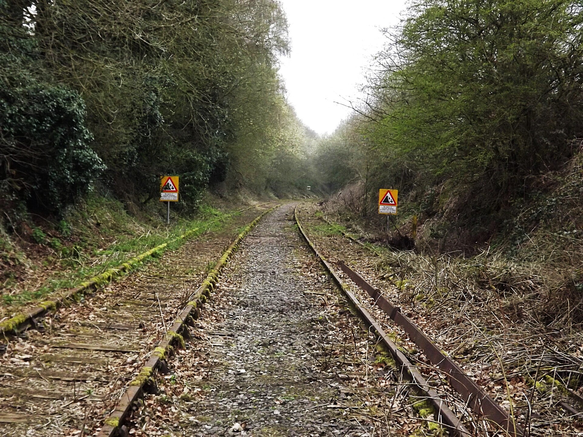
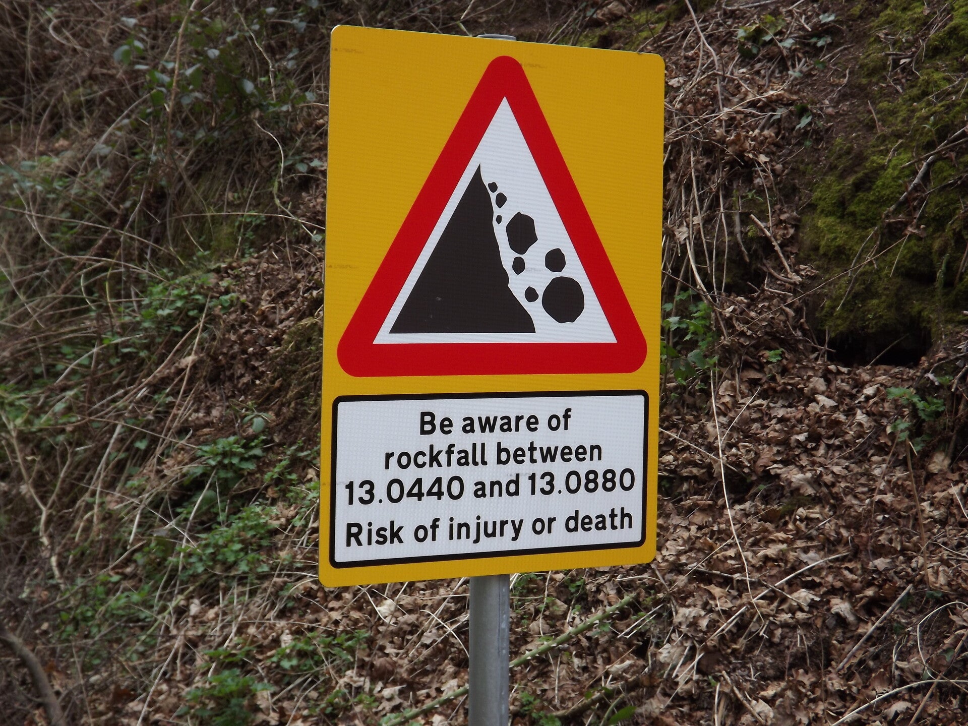
The next accessories were this pair of far more-modern "beware of falling rocks" signs. These appeared not far after the position of the former Brownhills Train Station.
The next (and final sign to be photographed that day) was this yellow signal, which means the next signals are likely to be on stop. The signals it refers to are no-longer present.